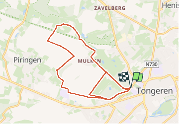

12,6 km | 14,3 km-effort

Utilisateur


Application GPS de randonnée GRATUITE
 SityTrail
IGN / Instituts géographiques
SityTrail World
Le monde est à vous
Randonnée Marche de 9,7 km à découvrir à Flandre, Limbourg, Tongres. Cette randonnée est proposée par Godasses et Grosses Pattes.
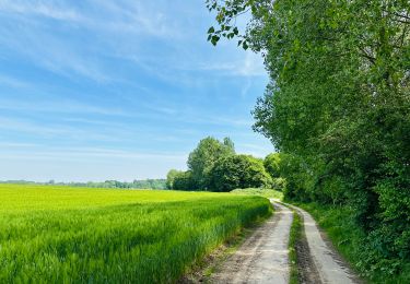
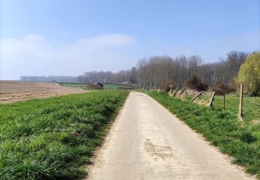
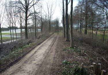
bois et chemin bétonné
attention peut être très boueux.
Attention
Commencer par la grande boucle puis la petite boucle.
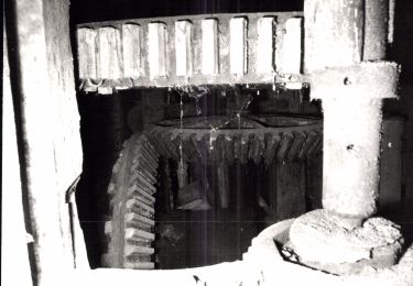
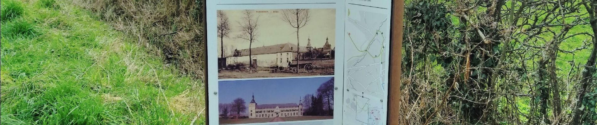
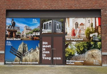
 - Photo 1")
 - Photo 2")
 - Photo 3")
 - Photo 4")
 - Photo 5")
 - Photo 6")
 - Photo 7")
Marche
A pied
Marche
A pied
A pied