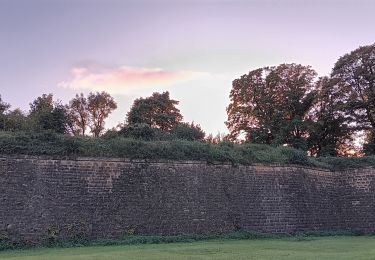
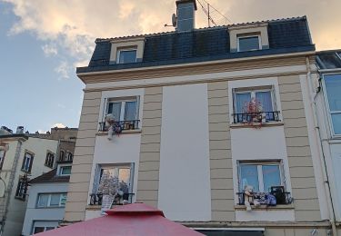
22 km | 29 km-effort
reconaissance 210315
iplaywithmotor
Utilisateur
Longueur
51 km
Altitude max
382 m
Dénivelé positif
789 m
Km-Effort
61 km
Altitude min
209 m
Dénivelé négatif
789 m
Boucle
Oui
Date de création :
2015-03-21 00:00:00.0
Dernière modification :
2015-03-21 00:00:00.0
1h42
Difficulté : Inconnu
Application GPS de randonnée GRATUITE
À propos
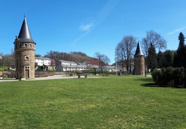
Randonnée Autre activité de 51 km à découvrir à Grand Est, Meurthe-et-Moselle, Cosnes-et-Romain. Cette randonnée est proposée par iplaywithmotor.
Localisation
Pays :
France
Région :
Grand Est
Département/Province :
Meurthe-et-Moselle
Commune :
Cosnes-et-Romain
Localité :
Unknown
Départ:(Dec)
Départ:(UTM)
696442 ; 5487800 (31U) N.
Commentaires
Randonnées à proximité
RL-GG-33_Halanzy_Messancy
Marche
Très difficile
Aubange,
Wallonie,
Luxembourg,
Belgique
6h 31min
Non
Saint-Denis 1
Marche
Moyen
Cosnes-et-Romain,
Grand Est,
Meurthe-et-Moselle,
France
7,4 km | 9,6 km-effort
1h 25min
Non
Tour de la forêt des Monts.
Marche
Très difficile
(1)
Musson,
Wallonie,
Luxembourg,
Belgique
21 km | 28 km-effort
5h 28min
Oui
RL-GG-30_Méry_Nessonvaux
Marche
Très difficile
Aubange,
Wallonie,
Luxembourg,
Belgique
23 km | 30 km-effort
6h 43min
Non
Réserve naturelle Musson
Marche nordique
Musson,
Wallonie,
Luxembourg,
Belgique
5,3 km | 5,8 km-effort
1h 1min
Oui
Chemin des Minières
Marche
Moyen
Saint-Pancré,
Grand Est,
Meurthe-et-Moselle,
France
8,1 km | 9,7 km-effort
2h 15min
Oui
vauban - longwy-haut ... booooooh
Marche
Très facile
Longwy,
Grand Est,
Meurthe-et-Moselle,
France
2,4 km | 2,8 km-effort
58min
Oui
longwy ? long nooooon !
Marche
Très facile
Longwy,
Grand Est,
Meurthe-et-Moselle,
France
869 m | 992 m-effort
16min
Oui
Balade 2
Marche
Facile
Ville-Houdlémont,
Grand Est,
Meurthe-et-Moselle,
France
558 m | 728 m-effort
27min
Non