


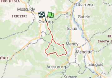

11,9 km | 17 km-effort


Utilisateur GUIDE


Application GPS de randonnée GRATUITE
 SityTrail
IGN / Instituts géographiques
SityTrail World
Le monde est à vous
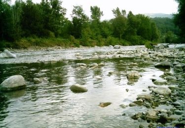
Randonnée A pied de 9,8 km à découvrir à Nouvelle-Aquitaine, Pyrénées-Atlantiques, Ordiarp. Cette randonnée est proposée par marmotte65.
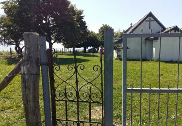
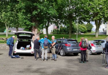
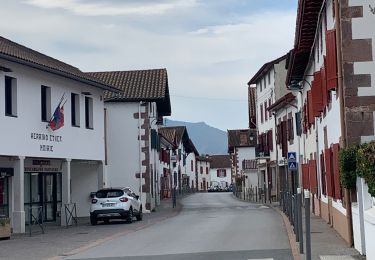
Du parking du fronton ou de l'église:
Contourner l'église puis le cimetiere par la droite, et laissez vous guider par le GPS
Marche
Marche

Marche
Marche
Marche
Marche
Marche
Marche
Marche