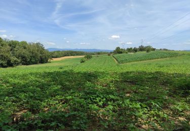
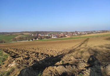
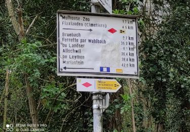
3,1 km | 3,7 km-effort
Schlilierbach
ROPPJP
Utilisateur
Longueur
9,3 km
Altitude max
300 m
Dénivelé positif
139 m
Km-Effort
11,2 km
Altitude min
242 m
Dénivelé négatif
139 m
Boucle
Oui
Date de création :
2024-03-14 12:54:52.929
Dernière modification :
2024-03-14 16:02:23.278
3h07
Difficulté : Moyen
Application GPS de randonnée GRATUITE
À propos
Randonnée Marche de 9,3 km à découvrir à Grand Est, Haut-Rhin, Schlierbach. Cette randonnée est proposée par ROPPJP.
Localisation
Pays :
France
Région :
Grand Est
Département/Province :
Haut-Rhin
Commune :
Schlierbach
Localité :
Unknown
Départ:(Dec)
Départ:(UTM)
380905 ; 5282726 (32T) N.
Commentaires
Randonnées à proximité
"Bromenade avec les kopains" du 03 /09/2024
Marche
Facile
Mulhouse,
Grand Est,
Haut-Rhin,
France
50min
Oui
VC 2024
Geocaching
Facile
Habsheim,
Grand Est,
Haut-Rhin,
France
5,2 km | 6,7 km-effort
2h 30min
Oui
Bartenheim
Marche
Difficile
Sierentz,
Grand Est,
Haut-Rhin,
France
11,5 km | 13,7 km-effort
3h 47min
Oui
22 03 01. VTM
Marche
Difficile
Bruebach,
Grand Est,
Haut-Rhin,
France
6 km | 7,7 km-effort
2h 34min
Oui
JD 16/20 Boucle Bruebach Landser Eschentzwiller
Marche
Bruebach,
Grand Est,
Haut-Rhin,
France
7,8 km | 9,6 km-effort
1h 45min
Oui
waldeck
Marche
Très facile
Mulhouse,
Grand Est,
Haut-Rhin,
France
4,9 km | 6,1 km-effort
1h 25min
Non
JD M2A 11/20 Circuit des collines de Dietwiller
Marche
Dietwiller,
Grand Est,
Haut-Rhin,
France
6,2 km | 7,2 km-effort
1h 22min
Oui