


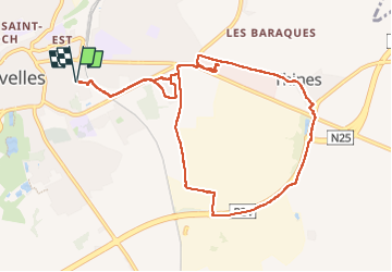

12,8 km | 15 km-effort


Utilisateur


Application GPS de randonnée GRATUITE
 SityTrail
IGN / Instituts géographiques
SityTrail World
Le monde est à vous
Randonnée Marche de 9,8 km à découvrir à Wallonie, Brabant wallon, Nivelles. Cette randonnée est proposée par Mady Lambert.
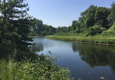
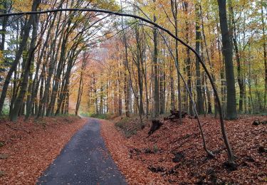
Petit bois, champs, fermés, joli village de Thines.
Nombreuses possibilités d'éviter les routes par différents petits chemins et sentiers, chien TRÈS souvent en liberté.
Bonnes chaussures de marche et provision d'eau.

Marche

Marche

Marche

Marche

Marche

Marche
Marche
Marche nordique
Marche