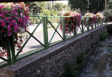
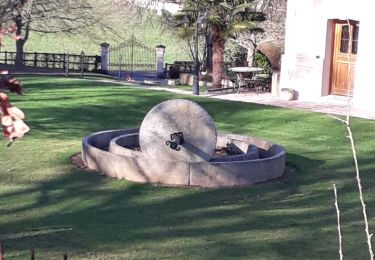
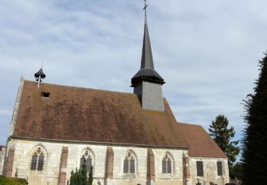
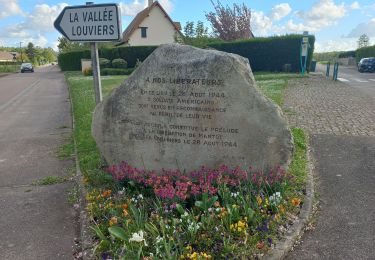
Randonnée Marche Saint-Germain-de-Pasquier - Vallée de l'Oison-GD-10,7KM - Photo

Vallée de l'Oison-GD-10,7KM

 philippe76
philippe76

Utilisateur

© OpenStreetMap contributors
Longueur
Longueur
8,6 km
Altitude max
Altitude max
154 m
Dénivelé positif
Dénivelé positif
191 m
Km-Effort
Km-Effort  
11,1 km
Altitude min
Altitude min
55 m
Dénivelé négatif
Dénivelé négatif
191 m
Boucle
Boucle
Oui
Date de création :
2015-06-03 00:00:00.0
Dernière modification :
2015-06-03 00:00:00.0

(0 Avis)

Marche
Marche
2h22
Difficulté : Moyen

Scannez ce code QR pour ouvrir la randonnée dans l'application SityTrail

Application GPS de randonnée GRATUITE

Logo SityTrail SityTrail

IGN / Instituts géographiques

Télécharger SityTrail sur l'App Store Télécharger SityTrail sur Google Play

Logo SityTrail SityTrail World

Le monde est à vous

Télécharger SityTrail sur l'App Store Télécharger SityTrail sur Google Play Télécharger SityTrail sur Huawei AppGallery

À propos

Randonnée Marche de 8,6 km à découvrir à Normandie, Eure, Saint-Germain-de-Pasquier. Cette randonnée est proposée par philippe76.

Description

St Germain de Pasquier - Mairie
1 - Sentier AG du parking AD vers calvaire de St Cyr la Campagne. AD rue des Longs Champs puis AG, celle du Mont Hamel. AD rue du champ Corneille, jusqu’à Neuf Moulin.
2 - Traversez la D86, rue de la Vallée barrée, AD chemin du puits Castel. A la Petite vallée, AG longez le lotissement et TD le chemin forestier de la vallée Marabel.
3 - A la D592, AD la route de Mandeville jusqu’au calvaire du Hamel. AD Rue de l’église, AD rte de St Cyr, chemin AG vers la vallée de l’Oison.

Profil altimétrique

Localisation

Pays :
France
Région :
Normandie
Département/Province :
Eure
Commune :
Saint-Germain-de-Pasquier
Localité :
Unknown
Départ:(Dec)
Départ:(UTM)
354418 ; 5456767 (31U) N.

Randonnées à proximité

Randonnée Marche Caudebec-lès-Elbeuf - Caudebec-les- Elbeuf 12km - Photo
Marche
MichelRando7656

Marche

Moyen
(1)
Caudebec-lès-Elbeuf, Normandie, Seine-Maritime, France
10,7 km | 13,8 km-effort
3h 56min
Oui
Randonnée Marche Saint-Cyr-la-Campagne - Saint-Germain de Pasquier. 9 km - Photo
Marche
MichelRando7656

Marche

Moyen
(1)
Saint-Cyr-la-Campagne, Normandie, Eure, France
9,1 km | 11,7 km-effort
2h 40min
Oui
Randonnée Marche Caudebec-lès-Elbeuf - Caudebec les Elbeuf vers saint Cyr la campagne - Photo
Marche
MichelRando7656

Marche

Moyen
(2)
Caudebec-lès-Elbeuf, Normandie, Seine-Maritime, France
12 km | 15,2 km-effort
3h 7min
Oui
Randonnée Marche Saint-Germain-de-Pasquier - Circuit du Dué - St Germain de Pasquier - Photo
Marche
tracegps

Marche

Moyen
(2)
Saint-Germain-de-Pasquier, Normandie, Eure, France
9 km | 11,5 km-effort
2h 15min
Oui
Randonnée V.T.T. Caudebec-lès-Elbeuf - La Caudebécaise 2011 - 45 km - Caudebec-lès-Elbeuf - Photo
V.T.T.
tracegps

V.T.T.

Difficile
(1)
Caudebec-lès-Elbeuf, Normandie, Seine-Maritime, France
43 km | 54 km-effort
3h 0min
Oui
Randonnée Marche Saint-Pierre-lès-Elbeuf - orival les troglodyte  - Photo
Marche
Philippe Auguste

Marche

Moyen
Saint-Pierre-lès-Elbeuf, Normandie, Seine-Maritime, France
11,2 km | 14,9 km-effort
1h 40min
Non
Randonnée Marche Elbeuf - elbeuf/chemin du halage - Photo
Marche
Philippe Auguste

Marche

Très facile
(1)
Elbeuf, Normandie, Seine-Maritime, France
7,9 km | 8,6 km-effort
1h 35min
Oui
Randonnée Marche Saint-Pierre-lès-Elbeuf - st pierre les elbeuf  - Photo
Marche
Philippe Auguste

Marche

Moyen
Saint-Pierre-lès-Elbeuf, Normandie, Seine-Maritime, France
8,8 km | 9,5 km-effort
1h 48min
Oui
Randonnée Marche Saint-Pierre-des-Fleurs - 20240409-StPierre des Fleurs Cool - Photo
Marche
doudet

Marche

Facile
Saint-Pierre-des-Fleurs, Normandie, Eure, France
7,5 km | 8,5 km-effort
2h 10min
Oui


Fermer
Mes abonnements