


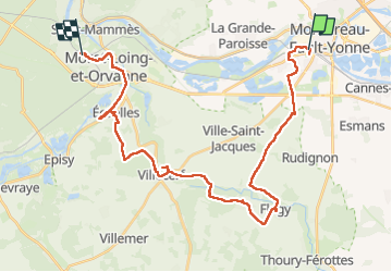


16 km | 19,1 km-effort

Utilisateur GUIDE


Application GPS de randonnée GRATUITE
 SityTrail
IGN / Instituts géographiques
SityTrail World
Le monde est à vous
Randonnée Marche de 34 km à découvrir à Île-de-France, Seine-et-Marne, Montereau-Fault-Yonne. Cette randonnée est proposée par chessyca.
Un parcours varié avec parfois un peu trop de bitume au départ de Montereau
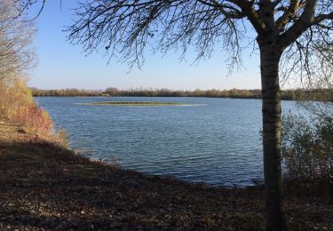
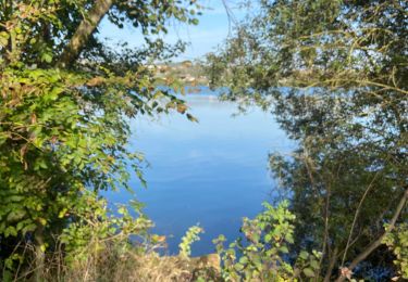
En cette saison quelques marais impraticables... nous avons du rebrousser chemin.
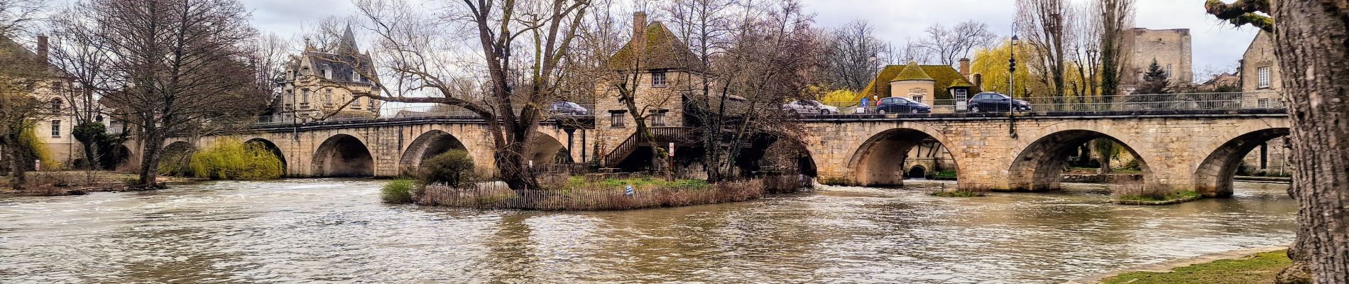
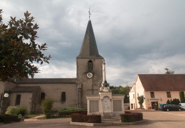
Les petits villages sont superbes


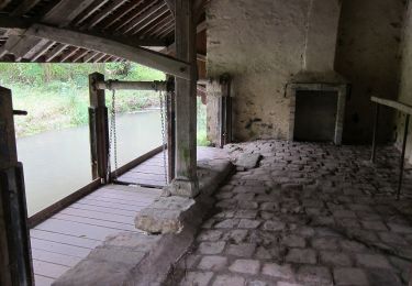
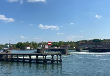
26 photos au total. Cliquez sur une photo pour les afficher toutes dans la galerie.
A pied
Marche nordique
A pied

A pied
Marche nordique

Marche
Marche
Marche nordique

A pied