Randonnée Marche La Madeleine-Villefrouin - La Madeleine  Villefroin - Photo
 marionneau
marionneau

Utilisateur

© OpenStreetMap contributors
Longueur
Longueur
11,8 km
Altitude max
Altitude max
121 m
Dénivelé positif
Dénivelé positif
68 m
Km-Effort
Km-Effort  
12,7 km
Altitude min
Altitude min
102 m
Dénivelé négatif
Dénivelé négatif
70 m
Boucle
Boucle
Oui
Date de création :
2024-03-13 07:29:23.224
Dernière modification :
2024-03-13 10:19:32.98

(0 Avis)

Marche
Marche
57m
Difficulté : Facile

Scannez ce code QR pour ouvrir la randonnée dans l'application SityTrail

Application GPS de randonnée GRATUITE

Logo SityTrail SityTrail

IGN / Instituts géographiques

Télécharger SityTrail sur l'App Store Télécharger SityTrail sur Google Play

Logo SityTrail SityTrail World

Le monde est à vous

Télécharger SityTrail sur l'App Store Télécharger SityTrail sur Google Play Télécharger SityTrail sur Huawei AppGallery

À propos

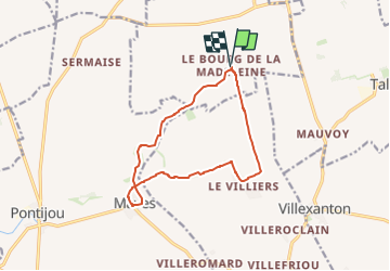
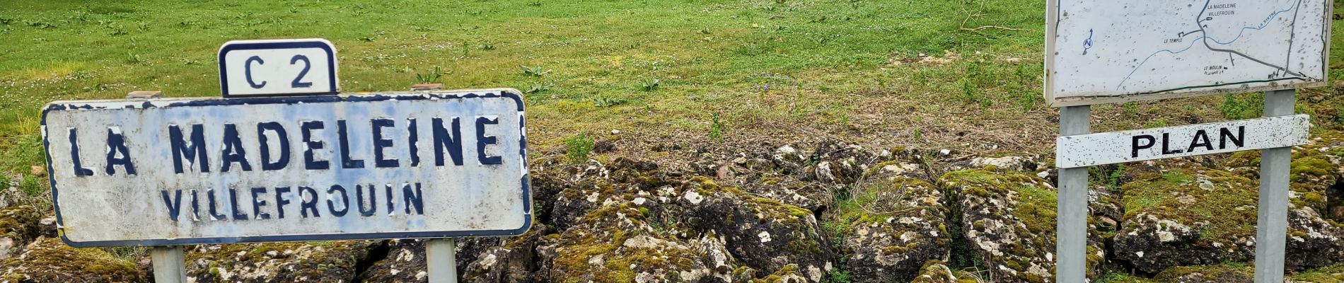
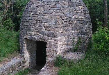
Randonnée Marche de 11,8 km à découvrir à Centre-Val de Loire, Loir-et-Cher, La Madeleine-Villefrouin. Cette randonnée est proposée par marionneau.

Profil altimétrique

Photos

Localisation

Pays :
France
Région :
Centre-Val de Loire
Département/Province :
Loir-et-Cher
Commune :
La Madeleine-Villefrouin
Localité :
Unknown
Départ:(Dec)
Départ:(UTM)
379758 ; 5292277 (31T) N.

Randonnées à proximité

Randonnée Marche Maves - maves - Photo
Marche
Billonmichel

Marche

Difficile
Maves, Centre-Val de Loire, Loir-et-Cher, France
15 km | 16,3 km-effort
3h 7min
Oui
Randonnée Marche Maves - autourdeMaves - Photo
Marche
annehc

Marche

Très facile
Maves, Centre-Val de Loire, Loir-et-Cher, France
10 km | 10,8 km-effort
2h 13min
Oui
Randonnée Marche Maves - maves pontijou - Photo
Marche
murph

Marche

Très facile
Maves, Centre-Val de Loire, Loir-et-Cher, France
6,2 km | 6,8 km-effort
1h 30min
Oui


Fermer
Mes abonnements