


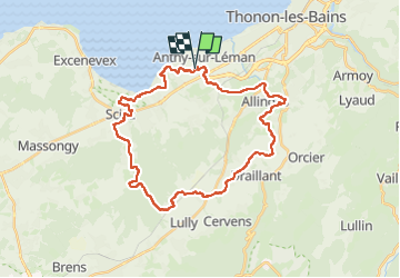

21 km | 27 km-effort


Utilisateur


Application GPS de randonnée GRATUITE
 SityTrail
IGN / Instituts géographiques
SityTrail World
Le monde est à vous
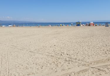
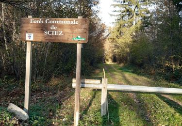
Randonnée Vélo électrique de 33 km à découvrir à Auvergne-Rhône-Alpes, Haute-Savoie, Anthy-sur-Léman. Cette randonnée est proposée par desu.
facile mais gras en mars, horaires faussés par crevaison et plusieurs rencontres
A pied
Marche
Marche
Course à pied
Marche

Aviron

Vélo électrique
Vélo électrique
Vélo électrique