


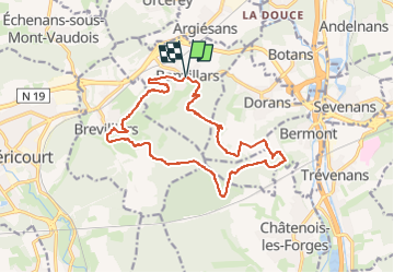


12 km | 16,4 km-effort

Utilisateur


Application GPS de randonnée GRATUITE
 SityTrail
IGN / Instituts géographiques
SityTrail World
Le monde est à vous
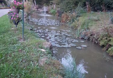
Randonnée Marche de 16,3 km à découvrir à Bourgogne-Franche-Comté, Territoire-de-Belfort, Banvillars. Cette randonnée est proposée par Bart2015.
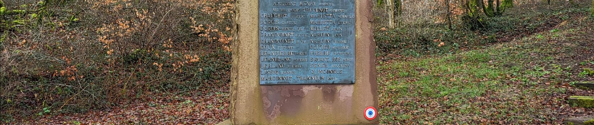
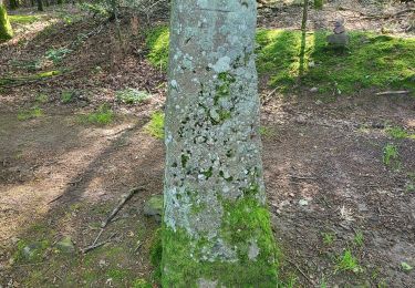
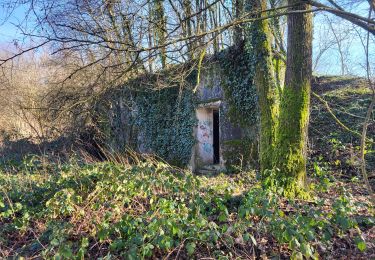
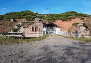
Randonnée avec un retour en arrière de 150 ans pour découvrir les fortifications autour de Banvillars, Brévilliers et Bermont.
Elle traverse diverses zones militaires qui sont libres de passage sauf si des manoeuvres sont en cours (ce qui est très rare). Attention à rester vigilant au abord des ruines.
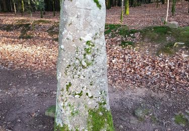
Passage également près du dolmen de Brévilliers.
Randonnée difficile en période de pluie (beaucoup de boue). Les sentiers ne sont pas toujours visibles sur la carte mais ils existent vraiment.
Bonne rando ...


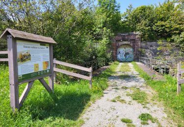
28 photos au total. Cliquez sur une photo pour les afficher toutes dans la galerie.
Marche

V.T.T.
Vélo électrique
Vélo électrique
Marche
Marche
V.T.T.
V.T.T.
Marche