Randonnée Marche Gourdan-Polignan - picon en boucle  avec Evelyne  - Photo

picon en boucle avec Evelyne

 Jeanne Pene
Jeanne Pene

Utilisateur

© OpenStreetMap contributors
Longueur
Longueur
10,7 km
Altitude max
Altitude max
624 m
Dénivelé positif
Dénivelé positif
393 m
Km-Effort
Km-Effort  
16 km
Altitude min
Altitude min
422 m
Dénivelé négatif
Dénivelé négatif
397 m
Boucle
Boucle
Non
Date de création :
2024-02-21 12:47:50.549
Dernière modification :
2024-02-21 16:35:15.099

(0 Avis)

Marche
Marche
3h09
Difficulté : Facile

Scannez ce code QR pour ouvrir la randonnée dans l'application SityTrail

Application GPS de randonnée GRATUITE

Logo SityTrail SityTrail

IGN / Instituts géographiques

Télécharger SityTrail sur l'App Store Télécharger SityTrail sur Google Play

Logo SityTrail SityTrail World

Le monde est à vous

Télécharger SityTrail sur l'App Store Télécharger SityTrail sur Google Play Télécharger SityTrail sur Huawei AppGallery

À propos

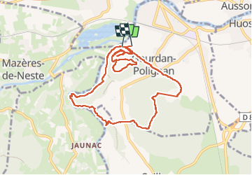
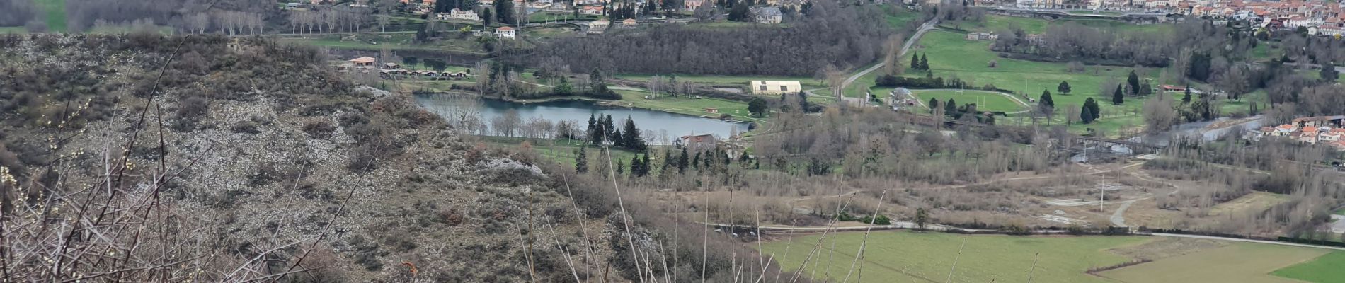
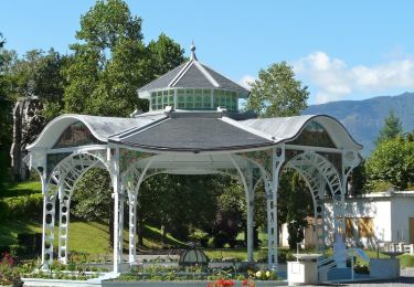
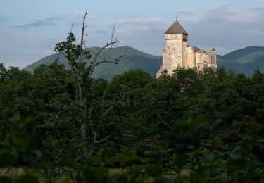
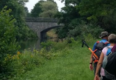
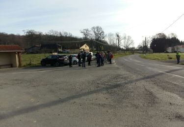
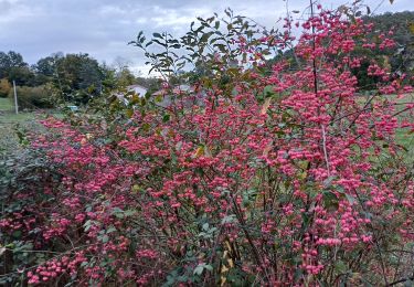
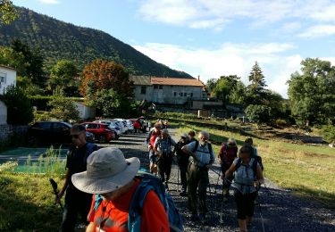
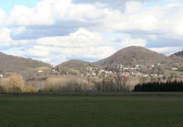
Randonnée Marche de 10,7 km à découvrir à Occitanie, Haute-Garonne, Gourdan-Polignan. Cette randonnée est proposée par Jeanne Pene.

Profil altimétrique

Photos

Localisation

Pays :
France
Région :
Occitanie
Département/Province :
Haute-Garonne
Commune :
Gourdan-Polignan
Localité :
Unknown
Départ:(UTM)
301845 ; 4771947 (31T) N.

Randonnées à proximité

Randonnée Marche Saint-Bertrand-de-Comminges - Autour de Saint Bertrand de Comminges - Photo
Marche
tracegps

Marche

Difficile
(1)
Saint-Bertrand-de-Comminges, Occitanie, Haute-Garonne, France
10,2 km | 17,1 km-effort
3h 30min
Oui
Randonnée Marche Seilhan - Tour de Seilhan - Photo
Marche
tracegps

Marche

Facile
(1)
Seilhan, Occitanie, Haute-Garonne, France
5,9 km | 7,7 km-effort
1h 30min
Oui
Randonnée Marche Barbazan - Tour de Barbazan - Photo
Marche
tracegps

Marche

Facile
(2)
Barbazan, Occitanie, Haute-Garonne, France
5,7 km | 7,3 km-effort
1h 30min
Oui
Randonnée A pied Saint-Bertrand-de-Comminges - Saint-Bertrand-de-Comminges : au coeur du Comminges - Photo
A pied
PRO

A pied

Facile
Saint-Bertrand-de-Comminges, Occitanie, Haute-Garonne, France
10,1 km | 17,1 km-effort
3h 52min
Oui
Randonnée A pied Aventignan - AVENTIGNAN/GARGAS   2871325 - Photo
A pied
GUIDE
marmotte65

A pied

Facile
Aventignan, Occitanie, Hautes-Pyrénées, France
9,7 km | 11,5 km-effort
2h 38min
Oui
Randonnée Marche Saint-Paul - SAINT PAUL  Le tour des lacs G4  2686186 - Photo
Marche
GUIDE
marmotte65

Marche

Facile
Saint-Paul, Occitanie, Hautes-Pyrénées, France
10,5 km | 12 km-effort
3h 7min
Oui
Randonnée Marche Seilhan - bord de Garonne vers Labroquère  - Photo
Marche
GUIDE
lhomme.ph

Marche

Moyen
Seilhan, Occitanie, Haute-Garonne, France
9,5 km | 11,4 km-effort
2h 51min
Oui
Randonnée A pied Barbazan - BARBAZAN  le refuge saint-martin G3 Fait
A pied
GUIDE
marmotte65

A pied

Facile
Barbazan, Occitanie, Haute-Garonne, France
11,2 km | 18,1 km-effort
3h 34min
Oui
Randonnée V.T.T. Barbazan - Les collines du Comminges  n°16 - Barbazan - Photo
V.T.T.
tracegps

V.T.T.

Difficile
Barbazan, Occitanie, Haute-Garonne, France
30 km | 39 km-effort
3h 0min
Oui


Fermer
Mes abonnements