


14,1 km | 16 km-effort

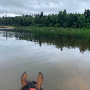
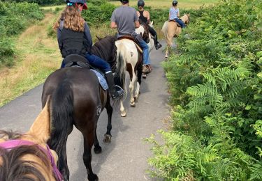
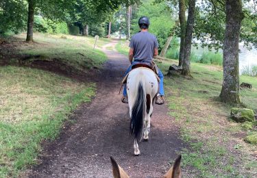
JOIE ET BONHEUR DE LA RANDONNEE A CHEVAL


Application GPS de randonnée GRATUITE
 SityTrail
IGN / Instituts géographiques
SityTrail World
Le monde est à vous
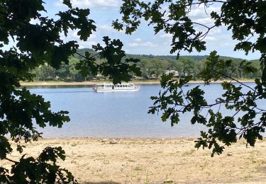
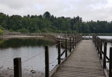
Randonnée Randonnée équestre de 21 km à découvrir à Bourgogne-Franche-Comté, Nièvre, Montsauche-les-Settons. Cette randonnée est proposée par ASSOCIATION DES CAVALIERS DU PAYS LUNEVILLOIS.

Marche
Randonnée équestre
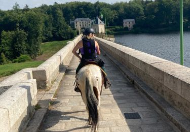
Randonnée équestre
Randonnée équestre
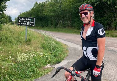
Vélo de route
Randonnée équestre
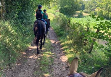
Randonnée équestre
Marche
V.T.T.