


5,4 km | 6,5 km-effort

Utilisateur


Application GPS de randonnée GRATUITE
 SityTrail
IGN / Instituts géographiques
SityTrail World
Le monde est à vous
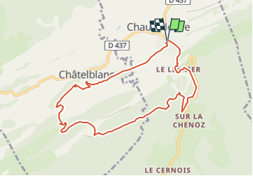
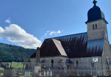
Randonnée Marche de 9,1 km à découvrir à Bourgogne-Franche-Comté, Doubs, Chaux-Neuve. Cette randonnée est proposée par daniellebou.
Importé de Visorando.
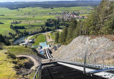
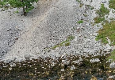
Boucle qui vous fera découvrir le point de vue de la Roche Blanche avec sa Vierge. Panorama à 360°, à l'Est vue sur Châtelblanc et le Val de Mouthe; à l'Ouest vue sur le Val de Foncine ; au Sud l'immense forêt du Noirmont et au Nord vue sur les Cabouilles, la Combette, la Vernouge et le Mont Croz. Puis la cascade du Bief Bridaux par un sentier très étroit (il faudra être vigilant) , et le haut du tremplin de Chaux-Neuve par de beaux sentier. Retour en forêt.


Marche
Marche
A pied
Marche
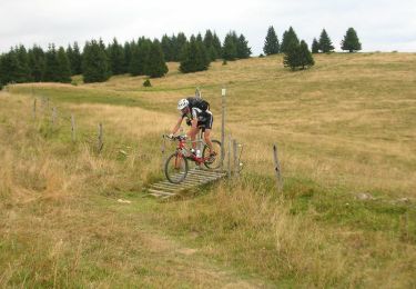
V.T.T.
Marche
Marche
Marche
Raquettes à neige