


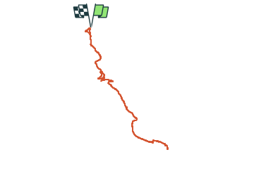

18,2 km | 30 km-effort

Utilisateur


Application GPS de randonnée GRATUITE
 SityTrail
IGN / Instituts géographiques
SityTrail World
Le monde est à vous
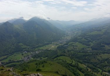
Randonnée Marche de 16,8 km à découvrir à Occitanie, Hautes-Pyrénées, Gerde. Cette randonnée est proposée par chrisgps.
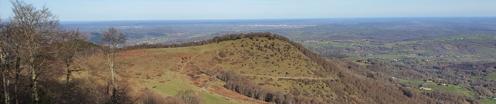
très agréable aller-retour malgré la raideur de la pente terminale. mais très beau panorama au sommet qui se mérite........!


Marche
Marche
Marche

Vélo de route
V.T.T.

Marche

Marche
Marche

Marche