


6,5 km | 10,5 km-effort


Utilisateur


Application GPS de randonnée GRATUITE
 SityTrail
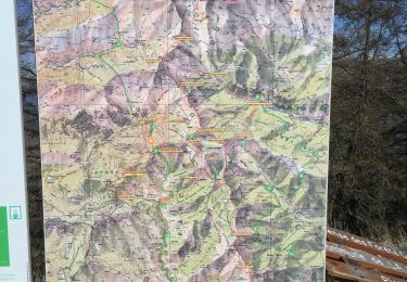
IGN / Instituts géographiques
SityTrail World
Le monde est à vous
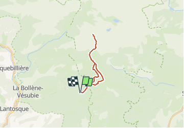
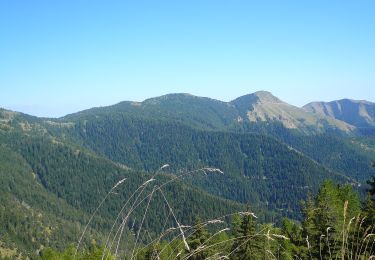
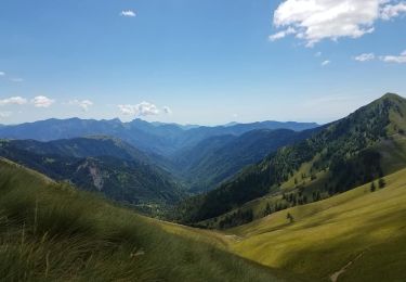
Randonnée Raquettes à neige de 20 km à découvrir à Provence-Alpes-Côte d'Azur, Alpes-Maritimes, Moulinet. Cette randonnée est proposée par fredopaca.
départ balise 238 direction balisé 410 puis 406 col de Raus à la Baisse de Ça valine prendre la crête sur la gauche pour mont capelet sup retour idem arriver à la baisse St Veran prendre vers la droite pour descendre vers la vacherie de l Ortiguié balise 248 pour rejoindre balise 244 baisse de Tuies redescendre vers la baisse de camp d Argent.

A pied

A pied
A pied
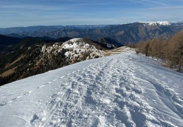
Raquettes à neige
Marche

Marche
Marche
Marche
Marche