


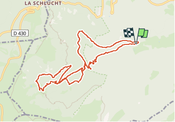

14,4 km | 22 km-effort

Utilisateur


Application GPS de randonnée GRATUITE
 SityTrail
IGN / Instituts géographiques
SityTrail World
Le monde est à vous
Randonnée Marche de 11,3 km à découvrir à Grand Est, Haut-Rhin, Stosswihr. Cette randonnée est proposée par oscar1.
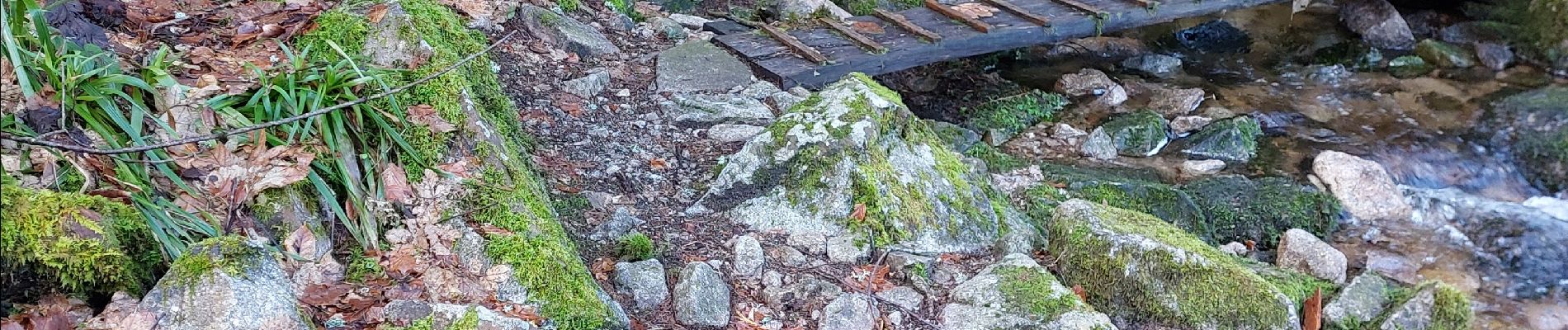
Belle randonnée en passant par la cascade pour arriver après 6 km environ de montée au Frankenthal. La montée se fait entre sentier et chemin.


Marche

Marche

Marche

Marche

Autre activité

Marche

Marche

V.T.T.

Marche