22 km | 35 km-effort
St Clément la Canedède
sergedurand
Utilisateur
Longueur
8,1 km
Altitude max
644 m
Dénivelé positif
193 m
Km-Effort
10,7 km
Altitude min
577 m
Dénivelé négatif
191 m
Boucle
Oui
Date de création :
2024-02-11 23:12:43.001
Dernière modification :
2025-01-19 17:07:11.099
2h25
Difficulté : Facile
Application GPS de randonnée GRATUITE
À propos
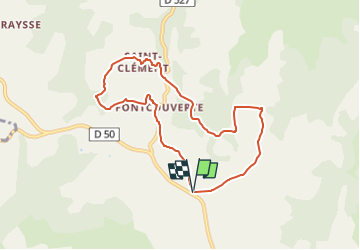
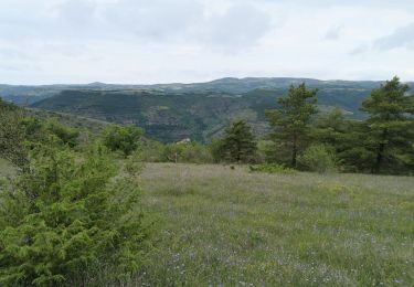
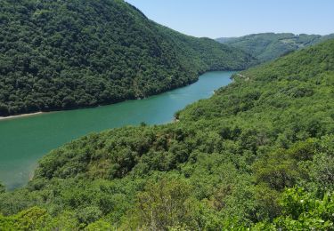
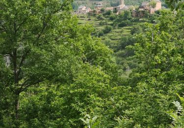
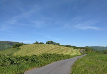
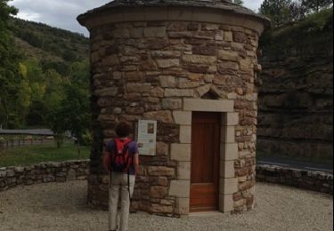
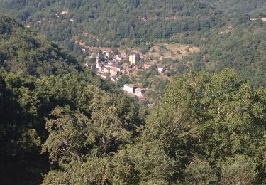
Randonnée A pied de 8,1 km à découvrir à Occitanie, Aveyron, Saint-Rome-de-Tarn. Cette randonnée est proposée par sergedurand.
Description
Depuis le carrefour de la Cadenède près des Bouzigues, aller à Foncouverte
Localisation
Pays :
France
Région :
Occitanie
Département/Province :
Aveyron
Commune :
Saint-Rome-de-Tarn
Localité :
Unknown
Départ:(Dec)
Départ:(UTM)
490479 ; 4873435 (31T) N.
Commentaires
Randonnées à proximité
Au long du Tarn: de St-Rome-de-Tarn à Ayssènes
Marche
Difficile
Saint-Rome-de-Tarn,
Occitanie,
Aveyron,
France
7h 53min
Non
Saint Rome de Tarn
Marche
Difficile
Saint-Rome-de-Tarn,
Occitanie,
Aveyron,
France
11,2 km | 15,7 km-effort
3h 14min
Oui
Le crayon
V.T.C.
Moyen
Saint-Rome-de-Tarn,
Occitanie,
Aveyron,
France
44 km | 58 km-effort
4h 14min
Oui
Relais st Rome petit tour
V.T.T.
Facile
Saint-Rome-de-Tarn,
Occitanie,
Aveyron,
France
10,4 km | 14,6 km-effort
57min
Oui
Raspes du Tarn Pinet
Vélo de route
Moyen
Saint-Rome-de-Tarn,
Occitanie,
Aveyron,
France
33 km | 44 km-effort
4h 13min
Oui
castelnau Pegairolles
Vélo de route
Facile
Saint-Rome-de-Tarn,
Occitanie,
Aveyron,
France
47 km | 59 km-effort
3h 39min
Oui
St Victor Genève st Etienne carotte roubiere truelle St Victor
Vélo électrique
Difficile
(1)
Saint-Rome-de-Tarn,
Occitanie,
Aveyron,
France
60 km | 82 km-effort
6h 41min
Oui
St. Rome - auriac
Marche
Très facile
Saint-Rome-de-Tarn,
Occitanie,
Aveyron,
France
8 km | 11,2 km-effort
2h 9min
Non
Viala ladepeyre vernhette marzial
Vélo électrique
Très facile
Saint-Rome-de-Tarn,
Occitanie,
Aveyron,
France
51 km | 66 km-effort
4h 10min
Oui