


7,8 km | 9,4 km-effort


Utilisateur


Application GPS de randonnée GRATUITE
 SityTrail
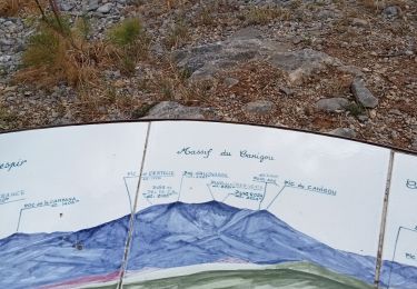
IGN / Instituts géographiques
SityTrail World
Le monde est à vous
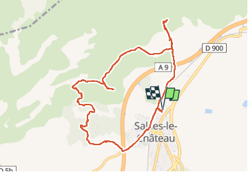
Randonnée Marche de 10,7 km à découvrir à Occitanie, Pyrénées-Orientales, Salses-le-Château. Cette randonnée est proposée par Santblasi.
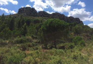
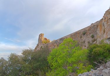
Départ cave, direction autoroute, aller droit jusqu'à ligne électrique, grimper mamelon 1er point de vue.
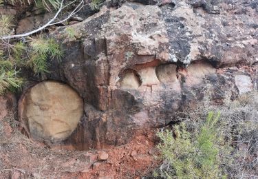
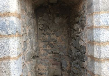
retour au croisement et suivre les panneaux directionnels. Orris abîmés.
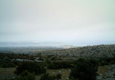
2ème point de vue via le raidillon en avançant le long du grillage. retour et continuer.
Pinéde brûlée, arbres couchés.
belle randonnée.
Marche
V.T.T.
Marche
Marche
Marche
Marche
Marche
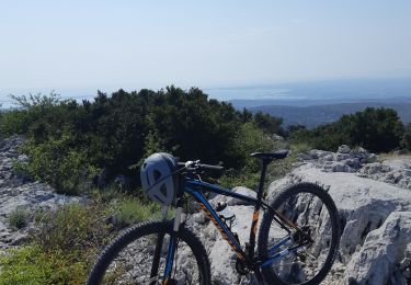
V.T.T.
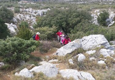
Marche