


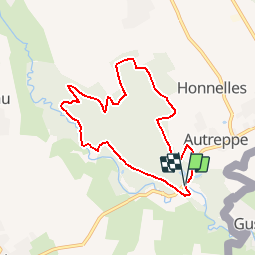


8 km | 9,4 km-effort


Utilisateur


Application GPS de randonnée GRATUITE
 SityTrail
IGN / Instituts géographiques
SityTrail World
Le monde est à vous
Randonnée Marche de 7 km à découvrir à Wallonie, Hainaut, Honnelles. Cette randonnée est proposée par corsinou.
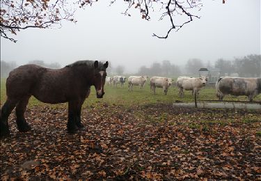
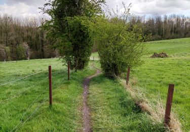
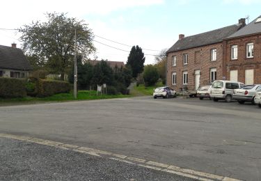
Ce circuit facile au départ de la Brasserie du Vallon,rue de la Vallée emprunte les parties boisées de la Petite Avierge, le Bois d'Angre, puis le Caillou qui Bique, attention beaucoup de zones humides, prévoir les chaussures adéquates
Marche
Marche
Marche

A pied
Marche

Marche
Marche

Marche
Marche