


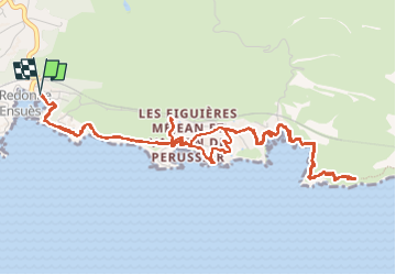

5,7 km | 8,3 km-effort

Utilisateur


Application GPS de randonnée GRATUITE
 SityTrail
IGN / Instituts géographiques
SityTrail World
Le monde est à vous
Randonnée Marche de 7,6 km à découvrir à Provence-Alpes-Côte d'Azur, Bouches-du-Rhône, Ensuès-la-Redonne. Cette randonnée est proposée par TOULAUDIN.
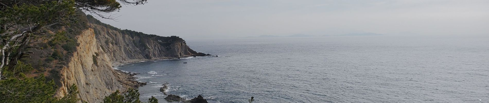
A/R la Redonne Le Grand Méjan sentier très mal balisé pas de difficultés être vigilant sur qq passages


Marche

Marche

Marche

A pied

A pied
A pied

A pied

A pied

Marche