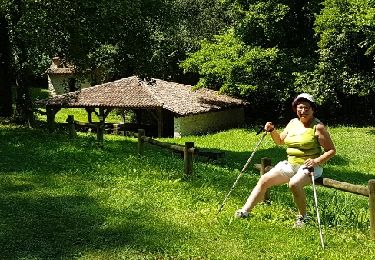
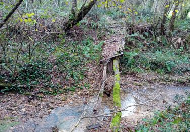
7,6 km | 9,3 km-effort
Chemin Poureille Crampot
Thetis De Villeroy
Utilisateur
Longueur
7,3 km
Altitude max
111 m
Dénivelé positif
77 m
Km-Effort
8,3 km
Altitude min
75 m
Dénivelé négatif
77 m
Boucle
Oui
Date de création :
2024-02-01 08:01:24.0
Dernière modification :
2024-02-01 09:39:55.497
1h38
Difficulté : Moyen
Application GPS de randonnée GRATUITE
À propos
Randonnée Marche de 7,3 km à découvrir à Nouvelle-Aquitaine, Landes, Saint-Sever. Cette randonnée est proposée par Thetis De Villeroy.
Localisation
Pays :
France
Région :
Nouvelle-Aquitaine
Département/Province :
Landes
Commune :
Saint-Sever
Localité :
Unknown
Départ:(Dec)
Départ:(UTM)
695273 ; 4847207 (30T) N.
Commentaires
Randonnées à proximité
Banos-Montaut
Marche
Moyen
Banos,
Nouvelle-Aquitaine,
Landes,
France
10,8 km | 13,6 km-effort
2h 59min
Oui
saint sever Guillaume
Marche
Moyen
Saint-Sever,
Nouvelle-Aquitaine,
Landes,
France
9,9 km | 11,6 km-effort
2h 28min
Oui
11 St Sever-ST Jean Pied de Port-St Jacques de Compostelle
V.T.T.
Très difficile
Saint-Sever,
Nouvelle-Aquitaine,
Landes,
France
116 km | 147 km-effort
9h 14min
Non
3 vallées St sever
Marche
Facile
(1)
Saint-Sever,
Nouvelle-Aquitaine,
Landes,
France
13,9 km | 16,8 km-effort
2h 39min
Oui
Saint Sever - Hinx - 31 Km
V.T.T.
Facile
Saint-Sever,
Nouvelle-Aquitaine,
Landes,
France
31 km | 35 km-effort
1h 30min
Non
Chemin de Compostelle -vieille route Hagetmau
Marche
Moyen
Saint-Sever,
Nouvelle-Aquitaine,
Landes,
France
5,9 km | 7 km-effort
1h 27min
Oui
Fg
Marche
Moyen
Saint-Sever,
Nouvelle-Aquitaine,
Landes,
France
11,1 km | 12,7 km-effort
2h 18min
Non
Fleuris
Marche
Moyen
Saint-Sever,
Nouvelle-Aquitaine,
Landes,
France
8,5 km | 9,5 km-effort
2h 1min
Non