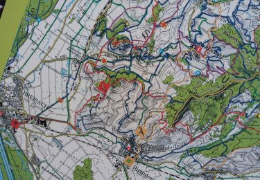
4,6 km | 5,9 km-effort
ile rhin
Hub6877
Utilisateur
Longueur
7,4 km
Altitude max
203 m
Dénivelé positif
69 m
Km-Effort
8,3 km
Altitude min
184 m
Dénivelé négatif
65 m
Boucle
Oui
Date de création :
2024-01-28 12:59:44.319
Dernière modification :
2024-01-29 10:33:46.606
2h27
Difficulté : Moyen
Application GPS de randonnée GRATUITE
À propos
Randonnée Marche de 7,4 km à découvrir à Grand Est, Haut-Rhin, Vogelgrun. Cette randonnée est proposée par Hub6877.
Localisation
Pays :
France
Région :
Grand Est
Département/Province :
Haut-Rhin
Commune :
Vogelgrun
Localité :
Unknown
Départ:(Dec)
Départ:(UTM)
394224 ; 5319549 (32U) N.
Commentaires
Randonnées à proximité
Kaiserstuhlpfad
A pied
Facile
Ihringen,
Bade-Wurtemberg,
Arrondissement de Brisgau-Haute-Forêt-Noire,
Allemagne
1h 20min
Non
vogel
Marche
Difficile
Vogelgrun,
Grand Est,
Haut-Rhin,
France
15,7 km | 17,8 km-effort
20h 19min
Oui
vogelgrun
Marche
Difficile
Vogelgrun,
Grand Est,
Haut-Rhin,
France
15,5 km | 17,7 km-effort
4h 8min
Oui
ELSASS BIKE 2020 - ETAPE 6
Cyclotourisme
Facile
Biesheim,
Grand Est,
Haut-Rhin,
France
36 km | 38 km-effort
2h 38min
Non
ADN - Cesenatico Tronçon 6
Cyclotourisme
Très difficile
Neuf-Brisach,
Grand Est,
Haut-Rhin,
France
96 km | 109 km-effort
Inconnu
Non
Archkaren
Marche
Moyen
Vogtsbourg,
Bade-Wurtemberg,
Arrondissement de Brisgau-Haute-Forêt-Noire,
Allemagne
15,6 km | 23 km-effort
5h 8min
Oui
vogelgrun
Marche
Très difficile
Vogelgrun,
Grand Est,
Haut-Rhin,
France
17,1 km | 19,4 km-effort
4h 59min
Oui
vogelgrun
Marche
Difficile
Vogelgrun,
Grand Est,
Haut-Rhin,
France
12,7 km | 14,5 km-effort
3h 9min
Oui