


23 km | 35 km-effort

Utilisateur


Application GPS de randonnée GRATUITE
 SityTrail
IGN / Instituts géographiques
SityTrail World
Le monde est à vous
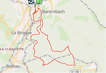
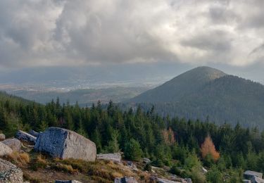
Randonnée Marche de 11 km à découvrir à Grand Est, Bas-Rhin, Schirmeck. Cette randonnée est proposée par Bart2015.
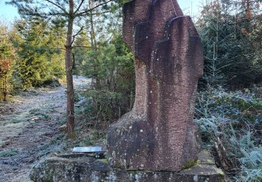
Construit au début du Xllle siècle, ce château fut détruit par les Suédois en 1633 pendant la Guerre de Trente Ans. En 1705, les Français songèrent à le reconstruire, mais abandonnèrent le projet et, en 1778, on édifia le clocher de l'église avec les matériaux du château...
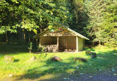
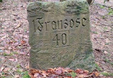
C'est donc bercé par l'histoire que débute cette jolie rando qui emprunte des sentiers chargé ... d'histoire ...
Bonne balade ...


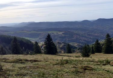
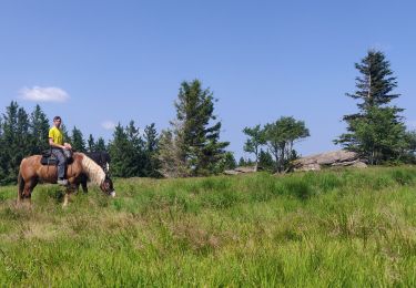
25 photos au total. Cliquez sur une photo pour les afficher toutes dans la galerie.

Marche

Marche
Randonnée équestre
Randonnée équestre
Marche

Randonnée équestre
Marche
Marche
Marche