


34 km | 44 km-effort

Utilisateur GUIDE


Application GPS de randonnée GRATUITE
 SityTrail
IGN / Instituts géographiques
SityTrail World
Le monde est à vous
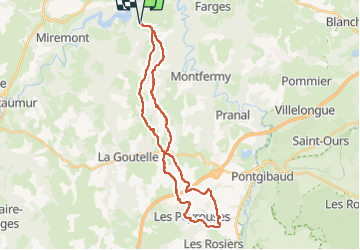
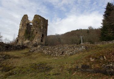
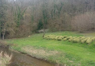
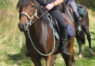
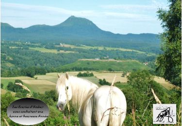
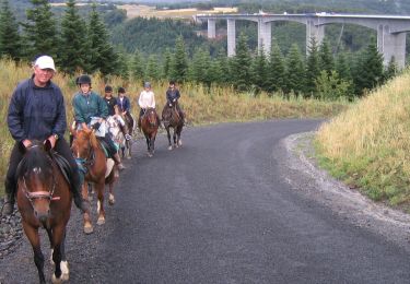
Randonnée Randonnée équestre de 31 km à découvrir à Auvergne-Rhône-Alpes, Puy-de-Dôme, Saint-Jacques-d'Ambur. Cette randonnée est proposée par Gérard TIXERONT.
Rando Journée en boucle sympa . Nombreuse piste de Galops . Nombreux villages traversées . Petite halte au Village de Tixeront à mi-parcours ( pacages, box, abreuvage, barre d'attache etc...
Gîte prochainement

Randonnée équestre
A pied
A pied
A pied
Marche
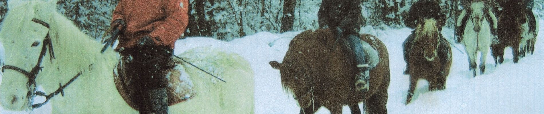
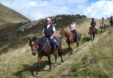
Randonnée équestre
Randonnée équestre
Randonnée équestre
Randonnée équestre