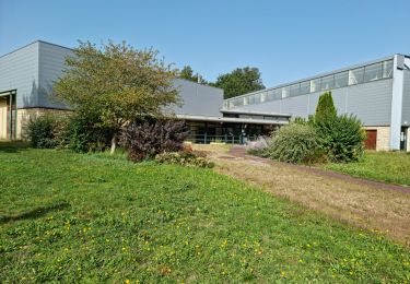
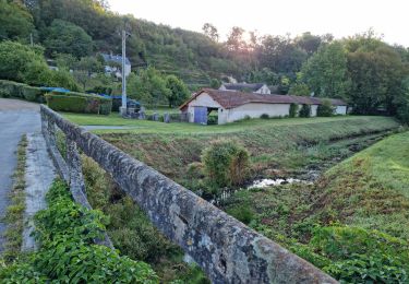
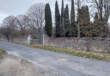
8,3 km | 9,9 km-effort
Fortan 2
Jean LABADIE
Utilisateur
Longueur
17,5 km
Altitude max
165 m
Dénivelé positif
194 m
Km-Effort
20 km
Altitude min
98 m
Dénivelé négatif
192 m
Boucle
Oui
Date de création :
2024-01-14 14:18:06.628
Dernière modification :
2024-01-24 15:04:40.631
4h34
Difficulté : Très difficile
Application GPS de randonnée GRATUITE
À propos
Randonnée Marche de 17,5 km à découvrir à Centre-Val de Loire, Loir-et-Cher, Fortan. Cette randonnée est proposée par Jean LABADIE.
Localisation
Pays :
France
Région :
Centre-Val de Loire
Département/Province :
Loir-et-Cher
Commune :
Fortan
Localité :
Unknown
Départ:(Dec)
Départ:(UTM)
344052 ; 5301118 (31T) N.
Commentaires
Randonnées à proximité
Bonaventure - Moulin de la Loupe
Marche
Moyen
Mazangé,
Centre-Val de Loire,
Loir-et-Cher,
France
2h 15min
Oui
Lunay
Marche
Moyen
Lunay,
Centre-Val de Loire,
Loir-et-Cher,
France
9,2 km | 11,1 km-effort
2h 30min
Oui
Mazangé - Lavoir Coteaux Vallées
Marche
Moyen
Mazangé,
Centre-Val de Loire,
Loir-et-Cher,
France
9,4 km | 11,6 km-effort
2h 38min
Oui
Lunay
Marche
Difficile
Lunay,
Centre-Val de Loire,
Loir-et-Cher,
France
11,6 km | 13,6 km-effort
3h 28min
Oui
mazange_24nov
Marche
Difficile
Mazangé,
Centre-Val de Loire,
Loir-et-Cher,
France
11,9 km | 14,1 km-effort
2h 45min
Oui
02aLe Gué du Loir-Petit Léon
Marche
Facile
Mazangé,
Centre-Val de Loire,
Loir-et-Cher,
France
18,6 km | 22 km-effort
Inconnu
Non
Petit Leon-Savigny sur Braye
Marche
Facile
Lunay,
Centre-Val de Loire,
Loir-et-Cher,
France
19,2 km | 22 km-effort
Inconnu
Non
reco es23 dimanche
Randonnée équestre
Difficile
Thoré-la-Rochette,
Centre-Val de Loire,
Loir-et-Cher,
France
30 km | 35 km-effort
6h 48min
Non
Villiers sur le Loir 30.01.2023
Marche
Moyen
Villiers-sur-Loir,
Centre-Val de Loire,
Loir-et-Cher,
France
10,5 km | 11,9 km-effort
2h 32min
Oui