


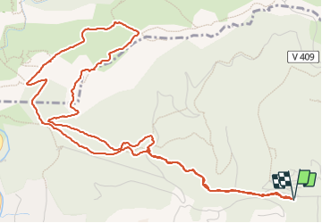

11,8 km | 19,3 km-effort

Utilisateur


Application GPS de randonnée GRATUITE
 SityTrail
IGN / Instituts géographiques
SityTrail World
Le monde est à vous
Randonnée Marche de 8 km à découvrir à Provence-Alpes-Côte d'Azur, Var, Ollioules. Cette randonnée est proposée par Christiancordin.
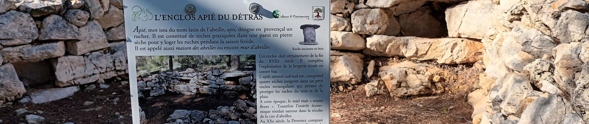
PK de Châteauvallon, le Détras, l'apié, col du Télégraphe, GR51, Capeu Gros, limite de commune, télégraphe de Chappe.


Marche

Marche

Marche

Marche

Marche

Marche

Marche

Marche

Marche