


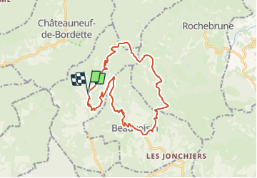

17,2 km | 29 km-effort


Utilisateur


Application GPS de randonnée GRATUITE
 SityTrail
IGN / Instituts géographiques
SityTrail World
Le monde est à vous
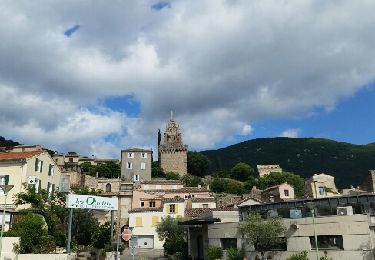
Randonnée de 17 km à découvrir à Auvergne-Rhône-Alpes, Drôme, Bénivay-Ollon. Cette randonnée est proposée par losjo.
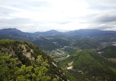
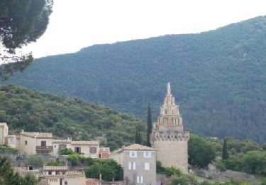
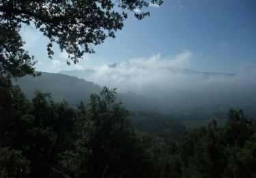
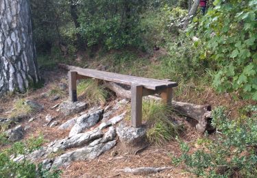
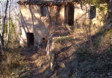
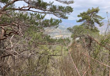
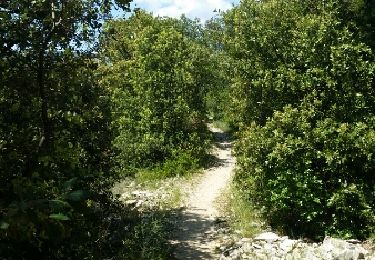
Longue randonnée dont chaque col franchi offre des vues variées, permettant de découvrir la vallée de l'Eygue-Marse, le nord des Baronnies, les hameaux de Beauovisin, ainsi qu'un point de vue sur le Mont Ventoux.
Marche
Marche
Marche
Marche
Marche

Marche
Marche
Marche
Marche