


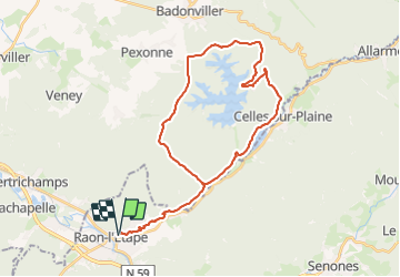

28 km | 37 km-effort


Utilisateur


Application GPS de randonnée GRATUITE
 SityTrail
IGN / Instituts géographiques
SityTrail World
Le monde est à vous
Randonnée Vélo électrique de 35 km à découvrir à Grand Est, Vosges, Raon-l'Étape. Cette randonnée est proposée par gmalgrase.
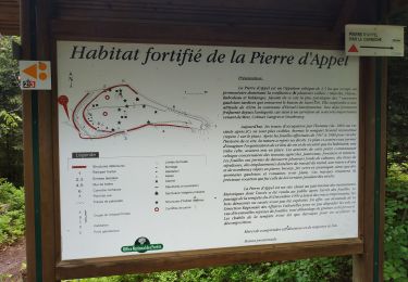
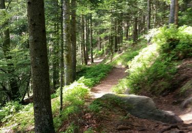
Raon l'Etape, Celles sur Plaine, montée vers Pierre percée. Tour du Lac par la ceinture verte.
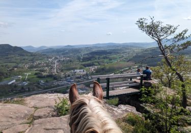
Randonnée équestre
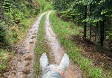
Randonnée équestre

V.T.T.
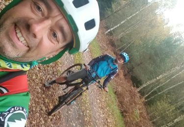
V.T.T.
V.T.T.
V.T.T.
V.T.T.
V.T.T.
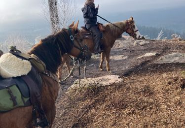
Randonnée équestre