


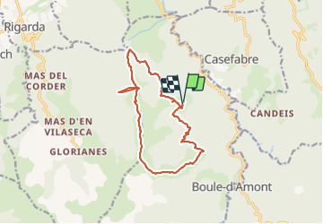

17 km | 24 km-effort

Utilisateur


Application GPS de randonnée GRATUITE
 SityTrail
IGN / Instituts géographiques
SityTrail World
Le monde est à vous
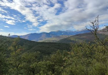
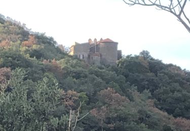
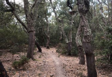
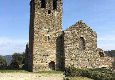
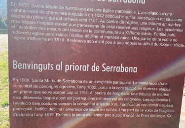
Randonnée Marche de 15,2 km à découvrir à Occitanie, Pyrénées-Orientales, Boule-d'Amont. Cette randonnée est proposée par ThonyM.
Attention la petite branche reliant les deux sentiers au départ n’est plus visible. Donc choisir plutôt départ à droite au tout début


Marche
Marche
Marche
Marche
Marche
Marche
Marche
Marche
Marche