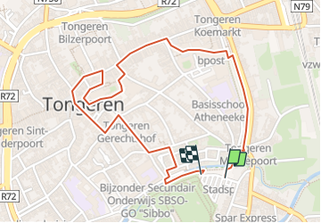

12,6 km | 14,3 km-effort

Utilisateur GUIDE


Application GPS de randonnée GRATUITE
 SityTrail
IGN / Instituts géographiques
SityTrail World
Le monde est à vous
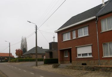
Randonnée Marche de 2,2 km à découvrir à Flandre, Limbourg, Tongres. Cette randonnée est proposée par mumu.larandonneuse.
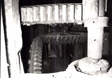
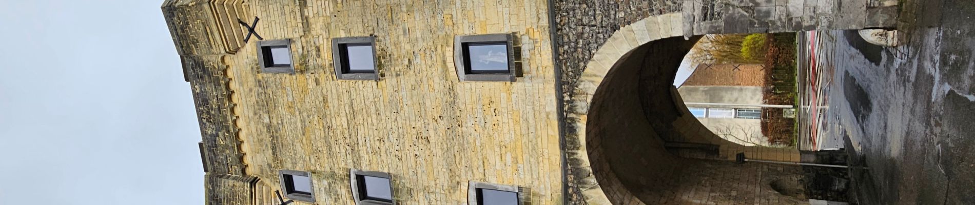
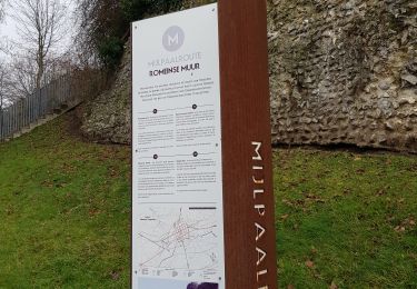
Petit tour du 🅿️ gratuit au centre-ville en passant par les remparts, la Basilique, la statue d'Ambiorix et le béguinage.


Marche

A pied
Marche
A pied
A pied