Randonnée Marche Eguisheim - 2023-12-29 Marche Hagueneck Pflixbourg Hohlandsbourg - Photo

2023-12-29 Marche Hagueneck Pflixbourg Hohlandsbourg

 holtzv
holtzv

Utilisateur GUIDE

© OpenStreetMap contributors
Longueur
Longueur
22 km
Altitude max
Altitude max
635 m
Dénivelé positif
Dénivelé positif
717 m
Km-Effort
Km-Effort  
32 km
Altitude min
Altitude min
206 m
Dénivelé négatif
Dénivelé négatif
718 m
Boucle
Boucle
Oui
Date de création :
2023-12-30 17:02:11.705
Dernière modification :
2023-12-30 17:08:25.692

(0 Avis)

Marche
Marche
7h16
Difficulté : Moyen

Scannez ce code QR pour ouvrir la randonnée dans l'application SityTrail

Application GPS de randonnée GRATUITE

Logo SityTrail SityTrail

IGN / Instituts géographiques

Télécharger SityTrail sur l'App Store Télécharger SityTrail sur Google Play

Logo SityTrail SityTrail World
Le monde est à vous

Télécharger SityTrail sur l'App Store Télécharger SityTrail sur Google Play Télécharger SityTrail sur Huawei AppGallery

À propos

Randonnée Marche de 22 km à découvrir à Grand Est, Haut-Rhin, Eguisheim. Cette randonnée est proposée par holtzv.

Description

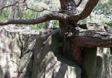
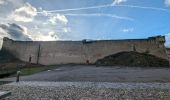
Marche à la journée depuis le haut de Eguisheim en passant par le château du Hagueneck, les pierres du repos des chasseurs, le rocher Turenne, la fontaine de la Dame, le château du Flixbourg et le château du Hohlandsbourg.
Fin de journée au marché de Noël d'Eguisheim.

Profil altimétrique

Photos

Localisation

Pays :
France
Région :
Grand Est
Département/Province :
Haut-Rhin
Commune :
Eguisheim
Localité :
Unknown
Départ:(UTM)
373097 ; 5322619 (32U) N.

Randonnées à proximité

Randonnée Marche Wettolsheim - 4 châteaux Wettolsheim Husseren - Photo
Marche
apa

Marche

Moyen
(1)
Wettolsheim, Grand Est, Haut-Rhin, France
11,7 km | 17,7 km-effort
4h 28min
Non
Randonnée Marche Wintzenheim - Boucle de la fontaine de la dame  - Photo
Marche
GUIDE
dudu42

Marche

Moyen
Wintzenheim, Grand Est, Haut-Rhin, France
7,9 km | 12,6 km-effort
2h 0min
Oui
Randonnée Course à pied Colmar - Covid-19 - A la recherche du cercle parfait - Photo
Course à pied
zazie

Course à pied

Très facile
(1)
Colmar, Grand Est, Haut-Rhin, France
11,2 km | 11,9 km-effort
1h 0min
Oui
Randonnée V.T.T. Wintzenheim - Wintzenheim - Le Stauffen - Col de Marbach - Soultzbach - Photo
V.T.T.
sit68000

V.T.T.

Moyen
(1)
Wintzenheim, Grand Est, Haut-Rhin, France
23 km | 31 km-effort
2h 4min
Oui
Randonnée Marche Colmar - grand tour de Colmar - Photo
Marche
Domdomii

Marche

Très facile
(1)
Colmar, Grand Est, Haut-Rhin, France
4,7 km | 5,1 km-effort
1h 22min
Oui
Randonnée Marche Wintzenheim - Château de Pflixbourg depuis Saint Gilles - Photo
Marche
sit68000

Marche

Facile
(1)
Wintzenheim, Grand Est, Haut-Rhin, France
3,7 km | 6,2 km-effort
1h 21min
Oui
Randonnée Marche Zimmerbach - Rando
Marche
boubou68

Marche

Très difficile
Zimmerbach, Grand Est, Haut-Rhin, France
22 km | 33 km-effort
5h 39min
Oui
Randonnée Marche Eguisheim - eguishem- vignoble et château  - Photo
Marche
GUIDE
blechanteur

Marche

Moyen
Eguisheim, Grand Est, Haut-Rhin, France
9,3 km | 13 km-effort
2h 34min
Oui
Randonnée Marche Eguisheim - Aujourd'hui - Photo
Marche
ABICHE

Marche

Moyen
(1)
Eguisheim, Grand Est, Haut-Rhin, France
8,4 km | 11,5 km-effort
2h 37min
Oui


Fermer
Mes abonnements