


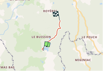

16,4 km | 21 km-effort


Utilisateur


Application GPS de randonnée GRATUITE
 SityTrail
IGN / Instituts géographiques
SityTrail World
Le monde est à vous
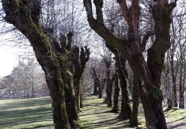
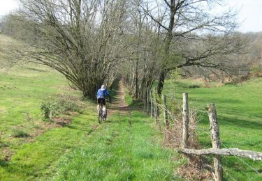
Randonnée 4x4 de 1,9 km à découvrir à Nouvelle-Aquitaine, Corrèze, Eyrein. Cette randonnée est proposée par antonin CHEZE.
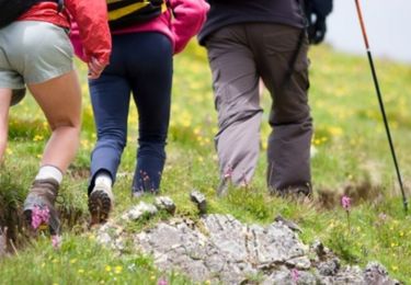
Marche

Marche
Marche
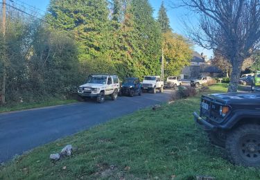
4x4
Marche

Cheval

V.T.T.
Marche
Cheval