14,3 km | 17,2 km-effort
231224_St laurent
fario
Utilisateur
Longueur
7,1 km
Altitude max
270 m
Dénivelé positif
114 m
Km-Effort
8,7 km
Altitude min
185 m
Dénivelé négatif
114 m
Boucle
Oui
Date de création :
2023-12-24 13:33:49.149
Dernière modification :
2024-01-09 15:41:16.504
2h01
Difficulté : Moyen
Application GPS de randonnée GRATUITE
À propos
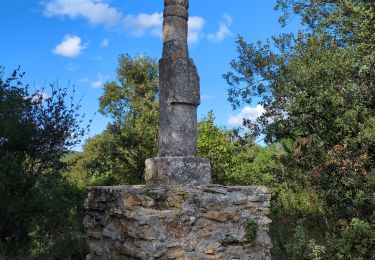
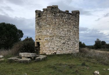
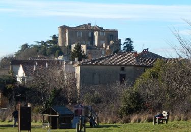
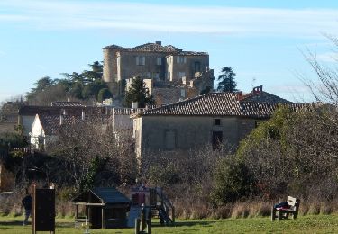
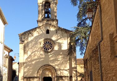
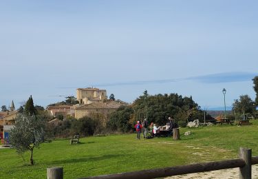
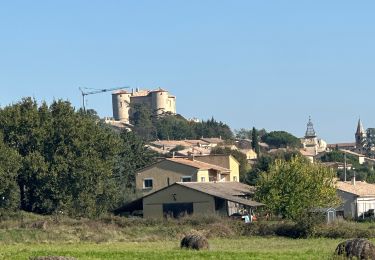
Randonnée Marche de 7,1 km à découvrir à Occitanie, Gard, Saint-Laurent-la-Vernède. Cette randonnée est proposée par fario.
Description
Balade agrable en famille avant le réveillon
Localisation
Pays :
France
Région :
Occitanie
Département/Province :
Gard
Commune :
Saint-Laurent-la-Vernède
Localité :
Unknown
Départ:(Dec)
Départ:(UTM)
616470 ; 4884197 (31T) N.
Commentaires
Randonnées à proximité
La Bastide D’Englas Pougnadoresse
sport
Très facile
La Bastide-d'Engras,
Occitanie,
Gard,
France
Inconnu
Oui
2 monastère solan avf
Marche
Moyen
(1)
La Bastide-d'Engras,
Occitanie,
Gard,
France
9,4 km | 11,7 km-effort
2h 39min
Oui
Vallabrix et le site de Massargues
Marche
Moyen
Vallabrix,
Occitanie,
Gard,
France
6,6 km | 8 km-effort
2h 16min
Oui
Rando Natura 2020
Marche
(1)
Saint-Laurent-la-Vernède,
Occitanie,
Gard,
France
11,9 km | 14,2 km-effort
3h 14min
Oui
Saint Laurent la Vernède
Autre activité
Très facile
Saint-Laurent-la-Vernède,
Occitanie,
Gard,
France
21 km | 24 km-effort
2h 48min
Non
Chapelle St-Jean - La Bastide d'Engras
V.T.T.
Moyen
La Bastide-d'Engras,
Occitanie,
Gard,
France
17,6 km | 21 km-effort
2h 0min
Oui
Chapelle St-Jean - La Bastide d'Engras
Marche
Difficile
La Bastide-d'Engras,
Occitanie,
Gard,
France
17,6 km | 21 km-effort
4h 30min
Oui
St laurent
Marche
Difficile
Saint-Laurent-la-Vernède,
Occitanie,
Gard,
France
11,6 km | 14,6 km-effort
5h 3min
Non