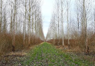
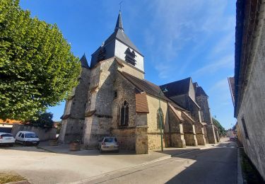
10,6 km | 11,3 km-effort
Clesles Seine
jeannine grandjean
Utilisateur
Longueur
4,3 km
Altitude max
81 m
Dénivelé positif
21 m
Km-Effort
4,5 km
Altitude min
72 m
Dénivelé négatif
21 m
Boucle
Oui
Date de création :
2023-12-18 15:01:12.0
Dernière modification :
2023-12-18 16:01:59.306
Application GPS de randonnée GRATUITE
À propos
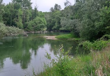
Randonnée de 4,3 km à découvrir à Grand Est, Marne, Clesles. Cette randonnée est proposée par jeannine grandjean.
Localisation
Pays :
France
Région :
Grand Est
Département/Province :
Marne
Commune :
Clesles
Localité :
Unknown
Départ:(Dec)
Départ:(UTM)
559840 ; 5375277 (31U) N.
Commentaires
Randonnées à proximité
Bagneux, les ruisseaux, les noues, la dérivation de l'Aube
Marche
Moyen
Bagneux,
Grand Est,
Marne,
France
2h 40min
Non
ROMILLY SUR SEINE, le Gué de Vailly
Marche
Moyen
Romilly-sur-Seine,
Grand Est,
Aube,
France
8,2 km | 8,6 km-effort
1h 38min
Oui
St Just 6km
Marche
Facile
Saint-Just-Sauvage,
Grand Est,
Marne,
France
6 km | 6,3 km-effort
1h 45min
Oui
Le Gué de Bailly
Marche
(1)
Romilly-sur-Seine,
Grand Est,
Aube,
France
11,5 km | 12,1 km-effort
2h 57min
Oui
maiziere
Marche
Facile
Maizières-la-Grande-Paroisse,
Grand Est,
Aube,
France
4,7 km | 5 km-effort
2h 12min
Oui
Boucle Etrelles Longueville
Marche
Moyen
(1)
Étrelles-sur-Aube,
Grand Est,
Aube,
France
11,1 km | 11,7 km-effort
2h 14min
Oui
Boucle St Just route de Clesles velovoie
Marche
Facile
Saint-Just-Sauvage,
Grand Est,
Marne,
France
12,1 km | 12,8 km-effort
2h 19min
Oui
Boucle Etrelles dans les champs
Marche
Très facile
Étrelles-sur-Aube,
Grand Est,
Aube,
France
8,8 km | 9,2 km-effort
1h 44min
Oui