


11,8 km | 14 km-effort


Utilisateur


Application GPS de randonnée GRATUITE
 SityTrail
IGN / Instituts géographiques
SityTrail World
Le monde est à vous
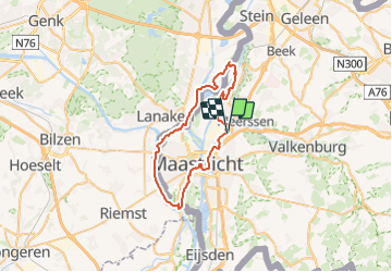
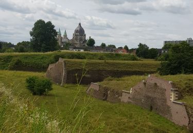
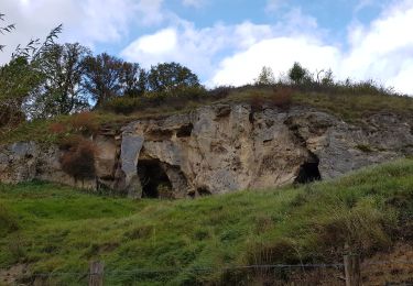
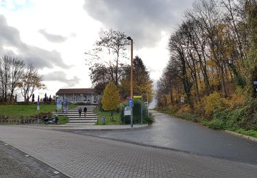
Randonnée Vélo de 44 km à découvrir à Limbourg, Inconnu, Maastricht. Cette randonnée est proposée par verpoorten.
Attention, le Bac au point-noeud 52 est fermé en hiver. Continuer alors le long de la Meuse pour ensuite traverser sur la piste cyclable du pont de la E314 (point-noeud 43). Après le pont prenez à droite pour longer le canal pour revenir vers l'itinéraire.
Marche
Marche
Marche
Marche
Marche
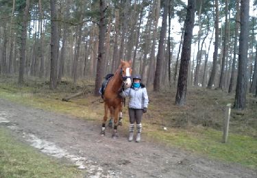
Randonnée équestre
Marche

A pied
A pied