


2,7 km | 3 km-effort

Utilisateur GUIDE


Application GPS de randonnée GRATUITE
 SityTrail
IGN / Instituts géographiques
SityTrail World
Le monde est à vous
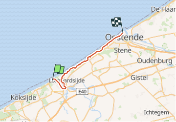
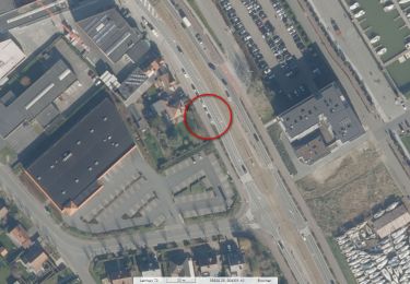
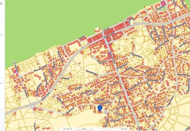
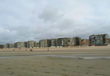
Randonnée Marche de 27 km à découvrir à Flandre, Flandre-Occidentale, Nieuport. Cette randonnée est proposée par Charles Lemaire.
Une deuxième partie du GR bien moins éprouvante que celle de La Panne à Nieuport.
Peu de passages dans le sable des dunes, le plus souvent les chemins sont aménagés.
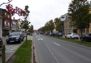
Tenez cependant compte de la fatigue de la veille si vous avez complété cette première épreuve.
Logement facile à Ostende.
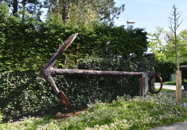
 day 2/4 - Photo 1")
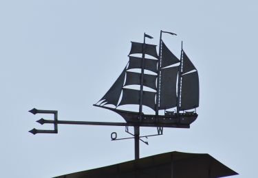
 day 2/4 - Photo 2")
Marche
Marche
Marche
Marche
Marche
Marche
A pied
A pied
A pied