![](/images/other/stat-length.png)
![Randonnée Marche La Panne - sgr kust (gr régional côte) day 1/4 - Photo](https://media.geolcdn.com/t/1900/400/aaa2f88c-b432-496b-9e73-3678850a8b83.jpg&format=pjpeg&maxdim=2)
sgr kust (gr régional côte) day 1/4
Charles Lemaire
Utilisateur GUIDE
![Longueur](/images/other/stat-length.png)
![Altitude max](https://static1.geolcdn.com/siteimages/upload/files/1508320355ic_sort_altitude_max_24dp.png)
![Dénivelé positif](https://static1.geolcdn.com/siteimages/upload/files/1508320355ic_sort_den_pos_24dp.png)
![Km-Effort](/images/other/stat-length.png)
![Altitude min](https://static1.geolcdn.com/siteimages/upload/files/1508320355ic_sort_altitude_min_24dp.png)
![Dénivelé négatif](https://static1.geolcdn.com/siteimages/upload/files/1508320355ic_sort_den_neg_24dp.png)
![Boucle](https://static1.geolcdn.com/siteimages/upload/files/16400158638029165_repeat_loop_refresh_sync_direction_icon.png)
![Marche](https://static1.geolcdn.com/sitytour/trail-icons/101.png)
6h32
Difficulté : Très difficile
![Scannez ce code QR pour ouvrir la randonnée dans l'application SityTrail](https://capi.geolives.com/qq0zvz2zws4bq2lad0pu/sitytour/trails/3887090/qr.png?size=200)
Application GPS de randonnée GRATUITE
À propos
Randonnée Marche de 27 km à découvrir à Flandre, Flandre-Occidentale, La Panne. Cette randonnée est proposée par Charles Lemaire.
Description
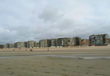
Une journée pour se persuader que la côte belge, ce n'est pas que du béton et le front de mer.
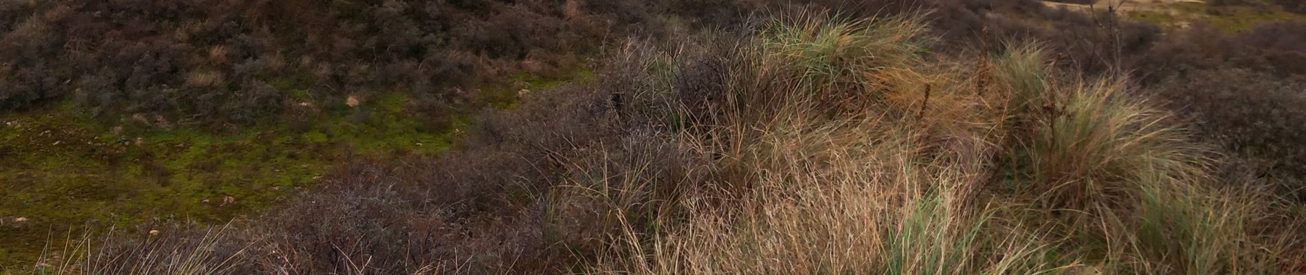
Une étape exigeante. Des franchissements de dunes dans du sable mou mettent les jambes à dure épreuve.
Les moins vaillants pourront la raccourcir. Par exemple en arrivant la veille et en faisant la boucle initiale du Westhoek pour loger à La Panne ; ou bien en prenant le tram de la côte lorsque la fatigue se fait sentir.
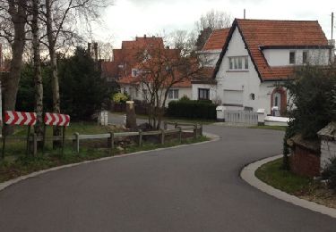
Logement facile à Nieuport.
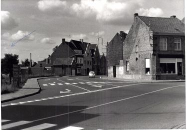
Localisation
Commentaires
Randonnées à proximité
![Randonnée Marche Coxyde - St. Idesbald et Noorduinen - Photo](https://media.geolcdn.com/t/375/260/ext.jpg?maxdim=2&url=https%3A%2F%2Fservices.sitytrail.com%2FGeolivesWS%2FDownloadMedia.ashx%3FTrailID%3D168018%26Media%3D20121231143948.jpg)
![Marche Marche](https://static1.geolcdn.com/sitytour/trail-icons/101.png)
Marche
![](/images/other/stat-length.png)
![](https://static1.geolcdn.com/siteimages/upload/files/16400158638029165_repeat_loop_refresh_sync_direction_icon.png)
![Randonnée V.T.T. La Panne - 20240613 - TOTEMUS partiel - DE PANNE 16 Km - Photo](https://media.geolcdn.com/t/375/260/e6db3c74-8cd0-422d-a16f-519e8aed2213.jpg&format=jpg&maxdim=2)
![V.T.T. V.T.T.](https://static1.geolcdn.com/sitytour/trail-icons/202.png)
V.T.T.
![](/images/other/stat-length.png)
![](https://static1.geolcdn.com/siteimages/upload/files/16400158638029165_repeat_loop_refresh_sync_direction_icon.png)
![Randonnée Marche La Panne - 20240612 - TOTEMUS De Panne - 6.7 Km - Photo](https://media.geolcdn.com/t/375/260/c5970009-e40d-4347-b90a-1006eb79b5f8.jpg&format=jpg&maxdim=2)
![Marche Marche](https://static1.geolcdn.com/sitytour/trail-icons/101.png)
Marche
![](/images/other/stat-length.png)
![](https://static1.geolcdn.com/siteimages/upload/files/16400158638029165_repeat_loop_refresh_sync_direction_icon.png)
![Randonnée A pied Coxyde - IJslandvaarders - Photo](https://media.geolcdn.com/t/375/260/ff0167a3-9414-481c-8a7c-f8f5e15aac2c.jpeg&format=jpg&maxdim=2)
![A pied A pied](https://static1.geolcdn.com/sitytour/trail-icons/100.png)
A pied
![](/images/other/stat-length.png)
![](https://static1.geolcdn.com/siteimages/upload/files/16400158638029165_repeat_loop_refresh_sync_direction_icon.png)
![Randonnée A pied Furnes - Stadswandelroute Veurne - Photo](https://media.geolcdn.com/t/375/260/2a68b391-176c-49be-94c2-5b4152bca163.jpeg&format=jpg&maxdim=2)
![A pied A pied](https://static1.geolcdn.com/sitytour/trail-icons/100.png)
A pied
![](/images/other/stat-length.png)
![](https://static1.geolcdn.com/siteimages/upload/files/16400158638029165_repeat_loop_refresh_sync_direction_icon.png)
![Randonnée A pied Coxyde - Artiestenwandelroute - Photo](https://media.geolcdn.com/t/375/260/54053886-9eaa-4fd8-b3ef-a405e8574e3d.jpeg&format=jpg&maxdim=2)
![A pied A pied](https://static1.geolcdn.com/sitytour/trail-icons/100.png)
A pied
![](/images/other/stat-length.png)
![](https://static1.geolcdn.com/siteimages/upload/files/16400158638029165_repeat_loop_refresh_sync_direction_icon.png)
![Randonnée A pied La Panne - Westhoek wandelroute - Photo](https://media.geolcdn.com/t/375/260/6b99b450-f354-4687-ac8b-ac4e098bbfb2.jpeg&format=jpg&maxdim=2)
![A pied A pied](https://static1.geolcdn.com/sitytour/trail-icons/100.png)
A pied
![](/images/other/stat-length.png)
![](https://static1.geolcdn.com/siteimages/upload/files/16400158638029165_repeat_loop_refresh_sync_direction_icon.png)
![Randonnée A pied Coxyde - Doornpanne wandelroute - Photo](https://media.geolcdn.com/t/375/260/0863c493-c589-422a-b163-aa86b420f67c.jpeg&format=jpg&maxdim=2)
![A pied A pied](https://static1.geolcdn.com/sitytour/trail-icons/100.png)
A pied
![](/images/other/stat-length.png)
![](https://static1.geolcdn.com/siteimages/upload/files/16400158638029165_repeat_loop_refresh_sync_direction_icon.png)
![Randonnée Marche La Panne - w-belgie-westhoekreservaat - Photo](https://media.geolcdn.com/t/375/260/ext.jpg?maxdim=2&url=https%3A%2F%2Fstatic1.geolcdn.com%2Fsiteimages%2Fupload%2Ffiles%2F1553511878bg_sport_marche.png)
![Marche Marche](https://static1.geolcdn.com/sitytour/trail-icons/101.png)
Marche
![](/images/other/stat-length.png)
![](https://static1.geolcdn.com/siteimages/upload/files/16400158638029165_repeat_loop_refresh_sync_direction_icon.png)