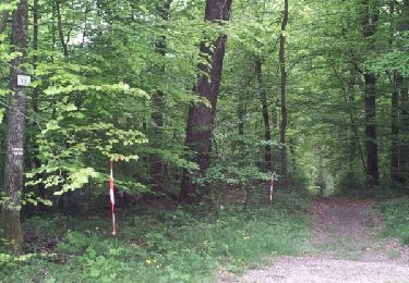
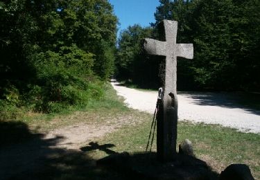
11,8 km | 15,4 km-effort
- depart cimetiere de menotey vers Dole version 2
gerardmicheline
Utilisateur
Longueur
22 km
Altitude max
346 m
Dénivelé positif
482 m
Km-Effort
28 km
Altitude min
205 m
Dénivelé négatif
480 m
Boucle
Oui
Date de création :
2023-11-29 15:28:21.468
Dernière modification :
2023-11-29 16:41:03.713
6h22
Difficulté : Très difficile
Application GPS de randonnée GRATUITE
À propos
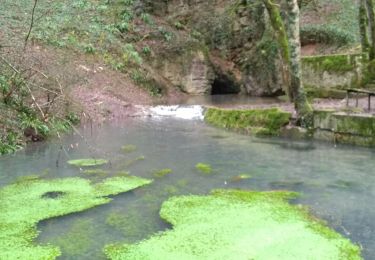
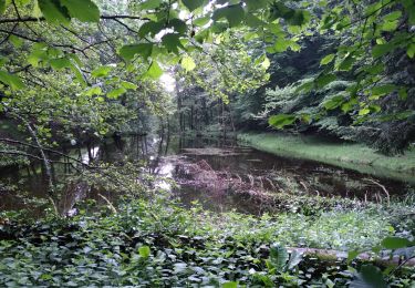
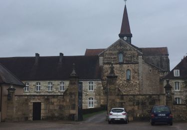
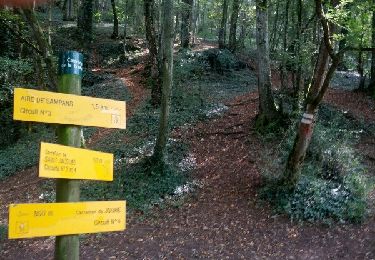
Randonnée Marche de 22 km à découvrir à Bourgogne-Franche-Comté, Jura, Menotey. Cette randonnée est proposée par gerardmicheline.
Localisation
Pays :
France
Région :
Bourgogne-Franche-Comté
Département/Province :
Jura
Commune :
Menotey
Localité :
Unknown
Départ:(Dec)
Départ:(UTM)
688973 ; 5226233 (31T) N.
Commentaires
Randonnées à proximité
Mont Roland 11.7km 20161215
Marche
Très facile
(2)
Jouhe,
Bourgogne-Franche-Comté,
Jura,
France
3h 18min
Oui
Archelange Mont Roland 2021-02-02 CAF
Marche
Moyen
Archelange,
Bourgogne-Franche-Comté,
Jura,
France
22 km | 28 km-effort
4h 23min
Oui
Chatenois 14 mai 2020 Pierre R
Marche
Difficile
(1)
Châtenois,
Bourgogne-Franche-Comté,
Jura,
France
20 km | 26 km-effort
5h 36min
Oui
g)Etapa 7
Marche
Facile
Jouhe,
Bourgogne-Franche-Comté,
Jura,
France
26 km | 31 km-effort
2h 4min
Non
Circuit Mont-Roland
Marche nordique
Difficile
Jouhe,
Bourgogne-Franche-Comté,
Jura,
France
11 km | 16,1 km-effort
2h 9min
Oui
Gredisans 7.8 km
Marche nordique
Moyen
Gredisans,
Bourgogne-Franche-Comté,
Jura,
France
7,8 km | 9,6 km-effort
1h 30min
Oui
L'étang Gredisans - Croix Boyon
Marche nordique
Très difficile
Gredisans,
Bourgogne-Franche-Comté,
Jura,
France
9,4 km | 11,9 km-effort
1h 39min
Oui
Gredisans - Relais de chasse
Marche nordique
Moyen
Gredisans,
Bourgogne-Franche-Comté,
Jura,
France
9,1 km | 11,3 km-effort
1h 49min
Oui
Gredisans - Golard - Crx Boyon
Marche
Difficile
Gredisans,
Bourgogne-Franche-Comté,
Jura,
France
12,8 km | 16,5 km-effort
2h 59min
Oui