


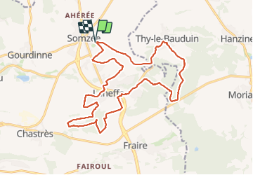

21 km | 26 km-effort


Utilisateur


Application GPS de randonnée GRATUITE
 SityTrail
IGN / Instituts géographiques
SityTrail World
Le monde est à vous
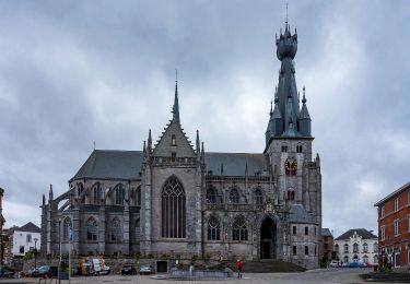
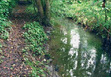
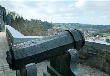
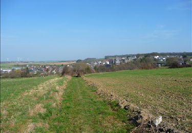
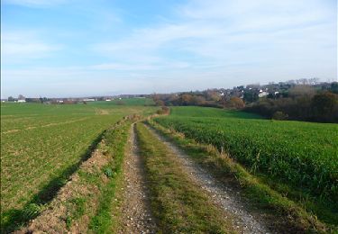
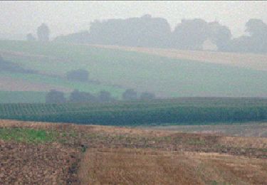
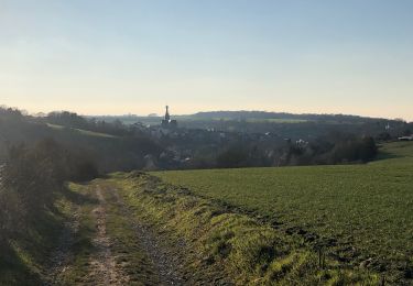
Randonnée Marche de 19,8 km à découvrir à Wallonie, Namur, Walcourt. Cette randonnée est proposée par jeangulu.
Point de départ : Complexe A. Michaux, rue Amérique [5651].
Organisateur : Royal Football Club Somzée - Véronique Cavillot - 0479 291 708.
Localité : SOMZEE.
Province : Namur.
Entité : Walcourt.
Carte IGN : 52/4
Marche

Marche
Marche
Marche
Marche
Marche
Marche
Marche

Marche