


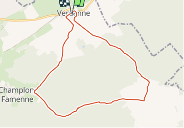

18,4 km | 24 km-effort


Utilisateur


Application GPS de randonnée GRATUITE
 SityTrail
IGN / Instituts géographiques
SityTrail World
Le monde est à vous
Randonnée Marche nordique de 8,7 km à découvrir à Wallonie, Luxembourg, Marche-en-Famenne. Cette randonnée est proposée par benoit.plumat.
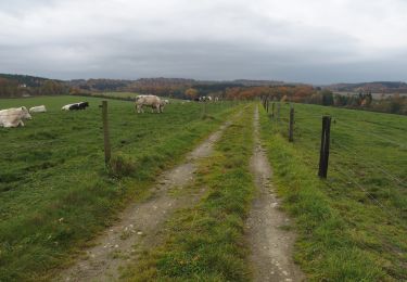
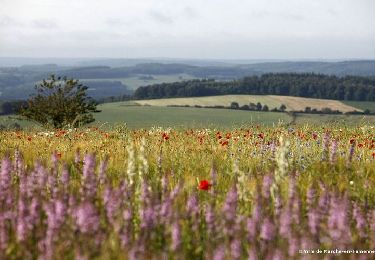
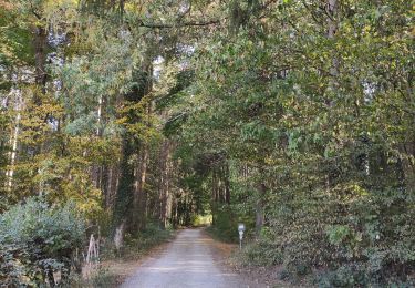
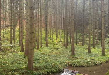
benWood - Ce circuit fait la part belle à la nature, puisqu’elle traverse entre autres les Bois de la Grande Namuroise et la campagne de la Famenne. Tout le parcours s’effectue dans un environnement calme et serein. Verdenne

Marche
Marche

Marche
Marche
Marche
Marche

Marche
Marche
