


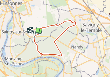


11 km | 12,8 km-effort


Utilisateur


Application GPS de randonnée GRATUITE
 SityTrail
IGN / Instituts géographiques
SityTrail World
Le monde est à vous
Randonnée Marche de 12,1 km à découvrir à Île-de-France, Essonne, Saint-Pierre-du-Perray. Cette randonnée est proposée par JacquesMARQUET.
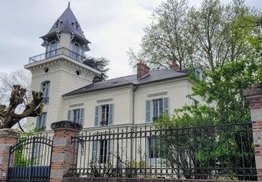
Randonnée de découverte de la forêt de Rougeau qui passe par les points les plus caractéristiques : ravin du gouffre, four à chaux, pavillons royal, gardien de la forêt, château de la Grange-Prévôté, allée royale.

Marche
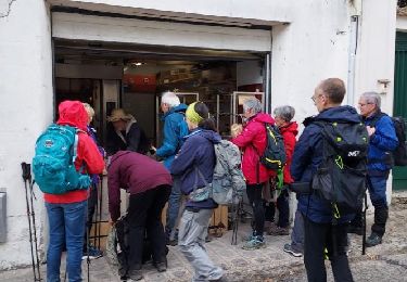
Marche

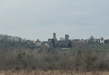
Course à pied

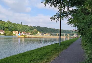
A pied
Marche

Marche

Marche
Marche
Marche