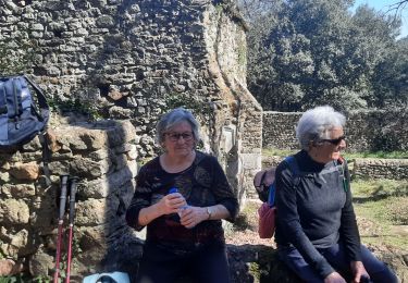
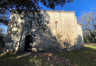
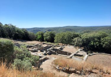
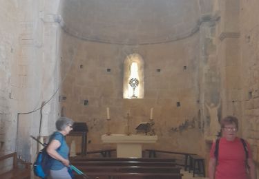
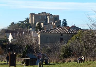
14,3 km | 17,2 km-effort
Cavillargues
Roger Philippe Wallez
Utilisateur GUIDE
Longueur
22 km
Altitude max
255 m
Dénivelé positif
368 m
Km-Effort
27 km
Altitude min
101 m
Dénivelé négatif
367 m
Boucle
Oui
Date de création :
2023-11-19 08:38:17.0
Dernière modification :
2023-11-19 15:45:38.31
7h02
Difficulté : Très difficile
Application GPS de randonnée GRATUITE
À propos
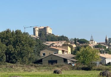
Randonnée Marche de 22 km à découvrir à Occitanie, Gard, Cavillargues. Cette randonnée est proposée par Roger Philippe Wallez.
Localisation
Pays :
France
Région :
Occitanie
Département/Province :
Gard
Commune :
Cavillargues
Localité :
Unknown
Départ:(Dec)
Départ:(UTM)
621794 ; 4885638 (31T) N.
Commentaires
Randonnées à proximité
La Bastide D’Englas Pougnadoresse
sport
Très facile
La Bastide-d'Engras,
Occitanie,
Gard,
France
Inconnu
Oui
2 monastère solan avf
Marche
Moyen
(1)
La Bastide-d'Engras,
Occitanie,
Gard,
France
9,4 km | 11,7 km-effort
2h 39min
Oui
Le pin , la Garbie et oppidum
Marche
Moyen
Le Pin,
Occitanie,
Gard,
France
6,3 km | 8,3 km-effort
2h 42min
Non
Sabran marche vigneronne
Marche
Moyen
Sabran,
Occitanie,
Gard,
France
14,3 km | 19,1 km-effort
3h 27min
Oui
Chapelle St-Jean - La Bastide d'Engras
V.T.T.
Moyen
La Bastide-d'Engras,
Occitanie,
Gard,
France
17,6 km | 21 km-effort
2h 0min
Oui
Chapelle St-Jean - La Bastide d'Engras
Marche
Difficile
La Bastide-d'Engras,
Occitanie,
Gard,
France
17,6 km | 21 km-effort
4h 30min
Oui
L''Oppidum de Gaujac
Marche
Moyen
Gaujac,
Occitanie,
Gard,
France
13,1 km | 17,1 km-effort
3h 30min
Oui