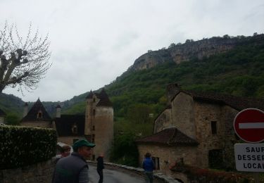
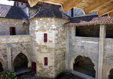
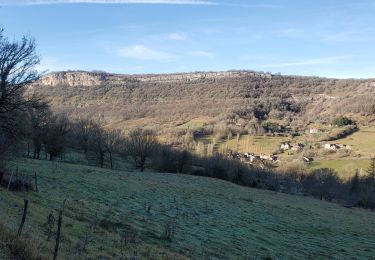
13,5 km | 19,8 km-effort
RANDO Cornac 2
Gpoujade
Utilisateur
Longueur
29 km
Altitude max
395 m
Dénivelé positif
916 m
Km-Effort
41 km
Altitude min
135 m
Dénivelé négatif
915 m
Boucle
Oui
Date de création :
2023-11-16 16:10:26.727
Dernière modification :
2024-02-16 17:39:03.272
2h50
Difficulté : Difficile
Application GPS de randonnée GRATUITE
À propos
Randonnée V.T.T. de 29 km à découvrir à Occitanie, Lot, Cornac. Cette randonnée est proposée par Gpoujade.
Description
Boucle vers Bretenoux, Gagnac-Sur-Cére et retour par Estal, Glanes
Localisation
Pays :
France
Région :
Occitanie
Département/Province :
Lot
Commune :
Cornac
Localité :
Unknown
Départ:(Dec)
Départ:(UTM)
411681 ; 4973642 (31T) N.
Commentaires
Randonnées à proximité
autour de castelnau
Marche
Très facile
(1)
Prudhomat,
Occitanie,
Lot,
France
3,5 km | 4,8 km-effort
1h 48min
Non
La Via Arverna (Bretenoux - Carennac)
Marche
Difficile
Bretenoux,
Occitanie,
Lot,
France
31 km | 41 km-effort
9h 0min
Non
cascade d'Autoire
Marche
Moyen
Saint-Médard-de-Presque,
Occitanie,
Lot,
France
13,6 km | 18,8 km-effort
5h 54min
Oui
Glanes - Castelnau-Bretenoux
Marche
Difficile
Glanes,
Occitanie,
Lot,
France
14,6 km | 18,4 km-effort
4h 11min
Oui