


13,4 km | 24 km-effort


Utilisateur


Application GPS de randonnée GRATUITE
 SityTrail
IGN / Instituts géographiques
SityTrail World
Le monde est à vous
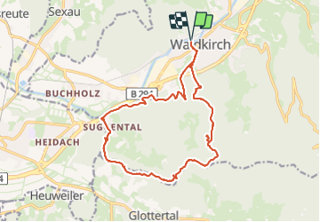
Randonnée Marche de 17,2 km à découvrir à Bade-Wurtemberg, Landkreis Emmendingen, Waldkirch. Cette randonnée est proposée par Bart2015.
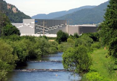
Randonnée pour découvrir les ruines du château du Schwarzenburg, solitaire et romantique, avec de belles vues sur la vallée du Rhin et Waldkirch. Elle peut sembler longue pour y arriver mais elle traverse de jolis sentiers ... Au retour, elle passe près d'un petit parc d'attraction qui peut ravir les plus petits ...
Bonne rando ...


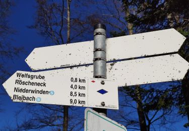
31 photos au total. Cliquez sur une photo pour les afficher toutes dans la galerie.
A pied
A pied
A pied
A pied

Moteur