


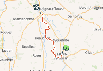

27 km | 33 km-effort

Utilisateur


Application GPS de randonnée GRATUITE
 SityTrail
IGN / Instituts géographiques
SityTrail World
Le monde est à vous
Randonnée Marche de 15,8 km à découvrir à Occitanie, Gers, Castéra-Verduzan. Cette randonnée est proposée par papounet32.


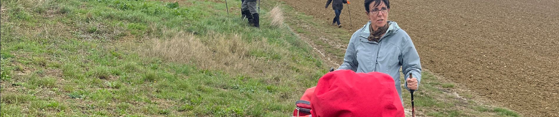
Marche


Marche