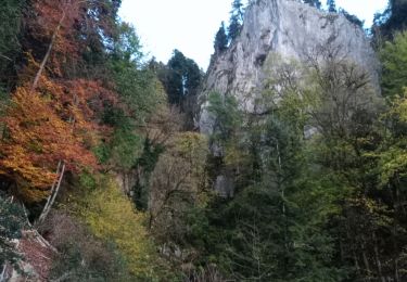
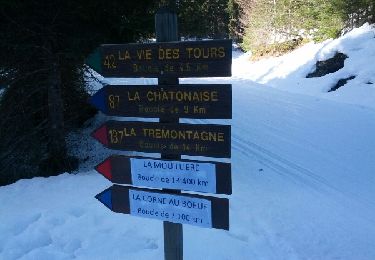
7,4 km | 10,5 km-effort
2023-11-04_19h40m33_tour_de_la_dole_grand_parcours_vendredi_0206-16590214-1687020999-278
GuySimonin
Utilisateur
Longueur
132 km
Altitude max
1404 m
Dénivelé positif
3210 m
Km-Effort
175 km
Altitude min
416 m
Dénivelé négatif
3214 m
Boucle
Oui
Date de création :
2023-11-04 18:40:41.294
Dernière modification :
2024-06-17 19:44:39.77
10h35
Difficulté : Très difficile
Application GPS de randonnée GRATUITE
À propos
Randonnée Vélo de route de 132 km à découvrir à Bourgogne-Franche-Comté, Jura, Nanchez. Cette randonnée est proposée par GuySimonin.
Localisation
Pays :
France
Région :
Bourgogne-Franche-Comté
Département/Province :
Jura
Commune :
Nanchez
Localité :
Unknown
Départ:(Dec)
Départ:(UTM)
717750 ; 5154802 (31T) N.
Commentaires
Randonnées à proximité
La Frasnée
Marche
Très facile
La Frasnée,
Bourgogne-Franche-Comté,
Jura,
France
5,1 km | 8,4 km-effort
1h 54min
Oui
Les tourbières de Nancheza
Marche
Facile
Nanchez,
Bourgogne-Franche-Comté,
Jura,
France
9,3 km | 11,1 km-effort
1h 36min
Non
chaux des pres
Marche
Très facile
Grande-Rivière-Château,
Bourgogne-Franche-Comté,
Jura,
France
12,7 km | 16,2 km-effort
6h 20min
Non
SVG 180618
Marche
Très facile
Nanchez,
Bourgogne-Franche-Comté,
Jura,
France
14,8 km | 20 km-effort
7h 46min
Oui
Prénovel - Les Piards
Raquettes à neige
Moyen
Nanchez,
Bourgogne-Franche-Comté,
Jura,
France
23 km | 28 km-effort
5h 54min
Oui
raquettes prénovel
Raquettes à neige
Très facile
Nanchez,
Bourgogne-Franche-Comté,
Jura,
France
5 km | 6,7 km-effort
2h 43min
Oui
Prénom électronique du chalet à la tourbière
Marche
Facile
Nanchez,
Bourgogne-Franche-Comté,
Jura,
France
4,5 km | 5,5 km-effort
2h 5min
Oui
Prenovel:tour
Marche
Moyen
Grande-Rivière-Château,
Bourgogne-Franche-Comté,
Jura,
France
16,8 km | 23 km-effort
4h 34min
Oui