


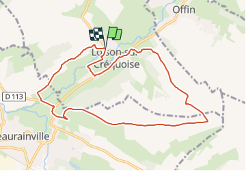

9,5 km | 11 km-effort


Utilisateur


Application GPS de randonnée GRATUITE
 SityTrail
IGN / Instituts géographiques
SityTrail World
Le monde est à vous
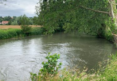
Randonnée Marche de 9 km à découvrir à Hauts-de-France, Pas-de-Calais, Loison-sur-Créquoise. Cette randonnée est proposée par Robert62.
Nous ferons cette randonnée dès que nous pourrons l'intégrer à notre programme au 1er trimestre prochain ensuite nous pourrons compléter cette description.
V.T.T.

Marche
Marche
Marche

Marche
Marche
Marche
Marche
V.T.T.