15 km | 24 km-effort
DH
PhilippeC54
Utilisateur
Longueur
16,7 km
Altitude max
847 m
Dénivelé positif
588 m
Km-Effort
25 km
Altitude min
595 m
Dénivelé négatif
588 m
Boucle
Oui
Date de création :
2023-11-01 08:29:29.188
Dernière modification :
2023-11-01 11:14:37.457
2h00
Difficulté : Moyen
Application GPS de randonnée GRATUITE
À propos
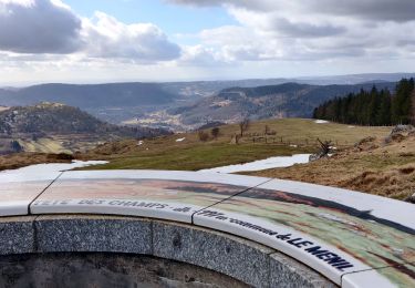
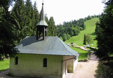
Randonnée V.T.T. de 16,7 km à découvrir à Grand Est, Vosges, Bussang. Cette randonnée est proposée par PhilippeC54.
Localisation
Pays :
France
Région :
Grand Est
Département/Province :
Vosges
Commune :
Bussang
Localité :
Unknown
Départ:(Dec)
Départ:(UTM)
340697 ; 5307371 (32T) N.
Commentaires
Randonnées à proximité
Col de Bussang - Rouge Gazon - Séchenat
Marche
Difficile
(1)
Bussang,
Grand Est,
Vosges,
France
6h 0min
Non
Circuit de raquette de Bussang
Raquettes à neige
Difficile
(1)
Bussang,
Grand Est,
Vosges,
France
7,7 km | 11,2 km-effort
3h 0min
Oui
L'Ermitage du Frère Joseph depuis Ventron
Marche
Facile
(1)
Ventron,
Grand Est,
Vosges,
France
10,2 km | 15,4 km-effort
2h 49min
Oui
Felsach _chapelle ST Nicolas_frenz
Marche
Difficile
(3)
Fellering,
Grand Est,
Haut-Rhin,
France
9,6 km | 16,5 km-effort
3h 45min
Oui
VTT de la grande Goutte N°13
V.T.T.
Moyen
Saint-Maurice-sur-Moselle,
Grand Est,
Vosges,
France
21 km | 30 km-effort
2h 3min
Oui
VTT de Bussang au Drumont
V.T.T.
Moyen
Bussang,
Grand Est,
Vosges,
France
21 km | 30 km-effort
2h 2min
Oui
2022-02-19 Marche Ventron Tête des Champs
Marche
Très difficile
Ventron,
Grand Est,
Vosges,
France
22 km | 34 km-effort
5h 52min
Oui
Circuit de la Croix de l’Hermite par Forgoutte
A pied
Facile
Ventron,
Grand Est,
Vosges,
France
4,3 km | 6,6 km-effort
1h 29min
Non
Circuit panoramique de la Futaie
A pied
Facile
Ventron,
Grand Est,
Vosges,
France
8,8 km | 12,6 km-effort
2h 52min
Oui