


20 km | 30 km-effort


Utilisateur


Application GPS de randonnée GRATUITE
 SityTrail
IGN / Instituts géographiques
SityTrail World
Le monde est à vous
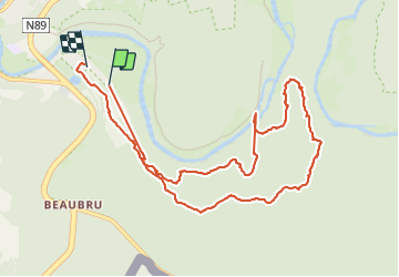
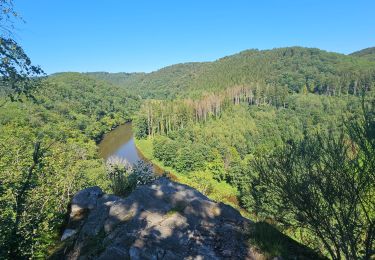
Randonnée Marche de 10,4 km à découvrir à Wallonie, Luxembourg, Bouillon. Cette randonnée est proposée par Claber.
Dohan

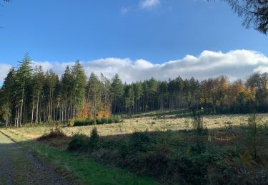
Marche

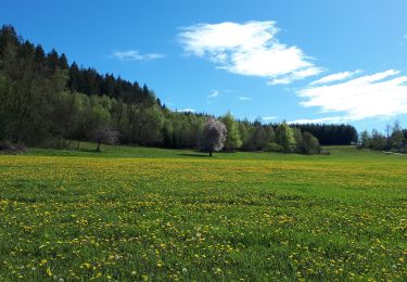
Marche

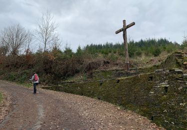
Marche

Marche
Marche
Marche
Marche

Marche
Marche