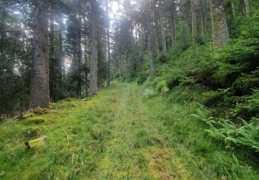
25 km | 36 km-effort
Fraize chez Delphine col plafond Yoigo
ACPL
Utilisateur
Longueur
19,4 km
Altitude max
863 m
Dénivelé positif
678 m
Km-Effort
28 km
Altitude min
469 m
Dénivelé négatif
677 m
Boucle
Oui
Date de création :
2023-10-22 12:22:42.0
Dernière modification :
2023-12-27 09:38:52.72
3h44
Difficulté : Moyen
Application GPS de randonnée GRATUITE
À propos
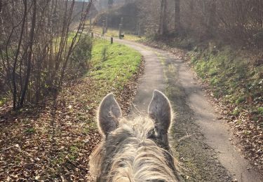
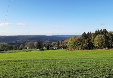
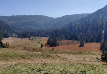
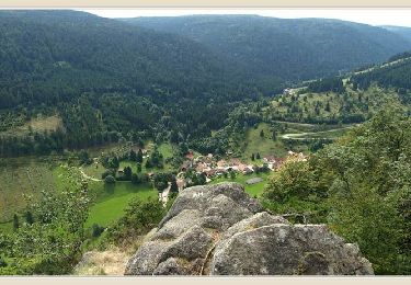
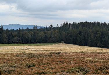
Randonnée Randonnée équestre de 19,4 km à découvrir à Grand Est, Vosges, Ban-sur-Meurthe-Clefcy. Cette randonnée est proposée par ACPL.
Localisation
Pays :
France
Région :
Grand Est
Département/Province :
Vosges
Commune :
Ban-sur-Meurthe-Clefcy
Localité :
Unknown
Départ:(Dec)
Départ:(UTM)
349889 ; 5338640 (32U) N.
Commentaires
Randonnées à proximité
2024-09-22 WE CVA Biffontaine Chaume de Serichamp
Randonnée équestre
Moyen
Fraize,
Grand Est,
Vosges,
France
4h 40min
Oui
Chapelle de mangegoutte
Marche
Facile
(3)
Mandray,
Grand Est,
Vosges,
France
6,1 km | 9 km-effort
1h 54min
Oui
Circuit Alsace Vosges Plainfaing Orbey
Randonnée équestre
Moyen
Plainfaing,
Grand Est,
Vosges,
France
30 km | 46 km-effort
6h 5min
Non
2021-10-09 Marche St Die Metzeral Jour 2
Marche
Très difficile
Ban-sur-Meurthe-Clefcy,
Grand Est,
Vosges,
France
26 km | 40 km-effort
7h 23min
Non
mp fraize 2021
Marche
Très difficile
Fraize,
Grand Est,
Vosges,
France
21 km | 32 km-effort
6h 14min
Oui
Circuit Alsace Vosges Fraize Orbey
Randonnée équestre
Très difficile
Fraize,
Grand Est,
Vosges,
France
31 km | 48 km-effort
6h 22min
Non
Tour du Bramont - Plainfaing
Marche
Moyen
(1)
Plainfaing,
Grand Est,
Vosges,
France
10,5 km | 15,6 km-effort
2h 30min
Oui
Circuit Alsace Cigognes Plainfaing Sotre
Randonnée équestre
Très difficile
Plainfaing,
Grand Est,
Vosges,
France
29 km | 43 km-effort
5h 42min
Non